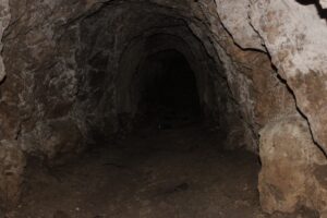
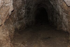
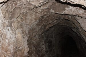
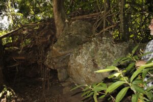
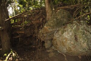
Elma Gold Mine Adit Images
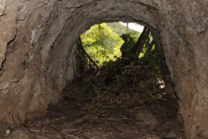
View from inside: Elma Gold Mine, Jamaica
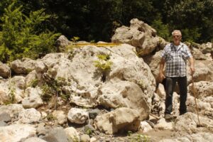
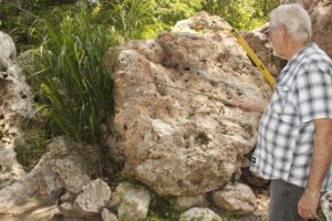
Paleo Flood Indicator (Boulders & River Bank Height- Rio Minho Tributary
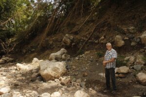
Standing in River Bed. Human Scale Reference (River Bank)
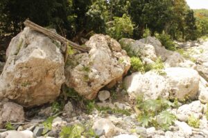
Past River Flooding Indicator (log on boulders). Boulders imbrication
Interested in Private or Group Tours?
Email: obfitness4u@gmail.com
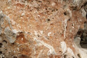
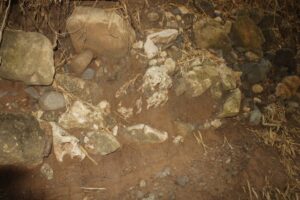
Texture & Fossils- Carbonate Boulders: Rio Minho Tributary
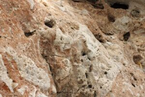
Karst Texture- with bivalve & gastropod fossils
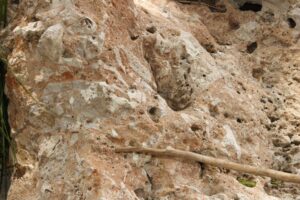
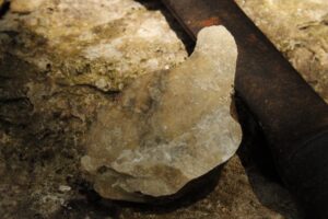
Calcite Spar Limestone?
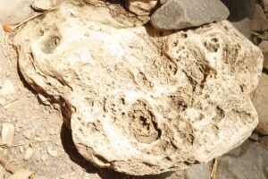
Coral Fossil? Rio Minho Tributary, River Bed.
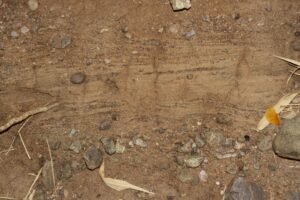
Vertical Stratigraphic Profile: Rio Minho Tributary-Paleocurrent, Paleo Earthquake & Iron Sand Indicators
On August 9, 2025, supported by Community elders, we conducted observations of 2 tributaries of the Rio Minho. Whilst our tour ultimately led us to an Adit of the Elma Gold Mine, we were exposed to a wealth of Geologic & Archaelogic insight (field).
As you watch the video, you will be exposed to:
✅ River Bed & Bank Observations.
✅Mineralizations on Rock Samples.
✅ Elma Gold Mine Adit Location.
Each section contributes to the whole story of precious metals deposition & richness that extends to our locations at various points of the tributaries, and potentially even further downstream-supporting my theory expressed in previous videos, of rivers in Jamaica holding key insight into potential-actual sites of placer deposits of precious metals.
Additionally, you will learn of key indicators of Past Flooding (Paleo floods) & Earthquakes (Paleo earthquakes).
Watch. Listen. Subscribe. Share.