
single post
Subscribe to receive all updates on O’Shane Bryant Fitness Limited.



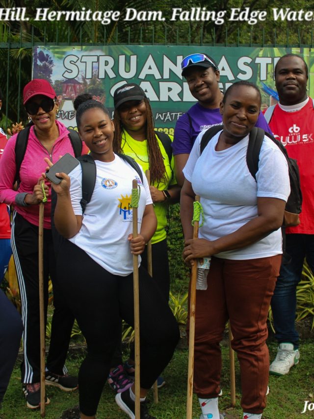
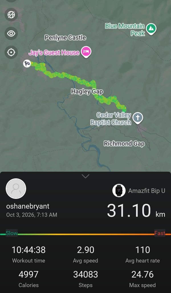
This post displays our highlights from our field geology mapping (earthquake-relevant) of Hagley Gap-Cedar Grove, St. Thomas, Jamaica; conducted on October 3, 2026.
It’s important to note that this is not the Earthquake Geology Report. To View Report, Click Here.
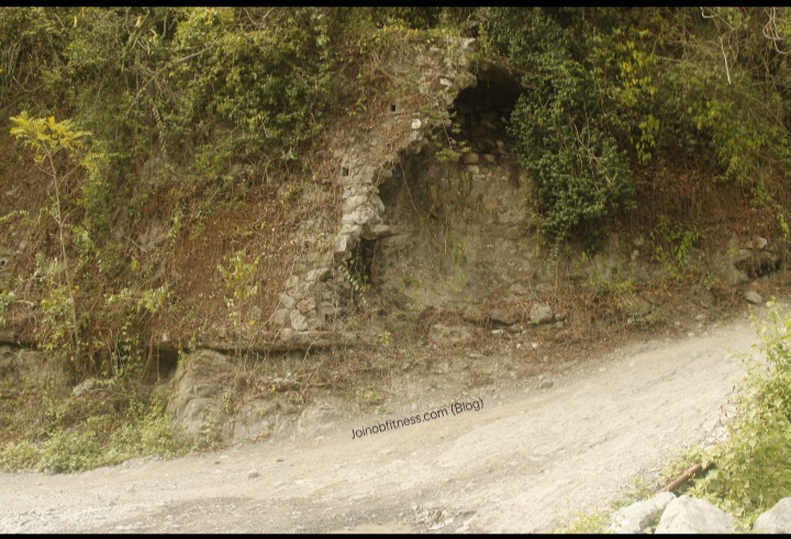
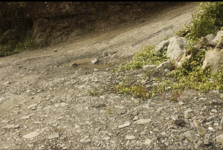
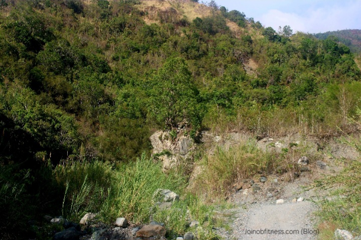
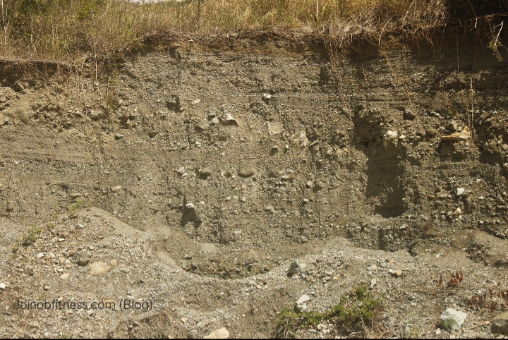
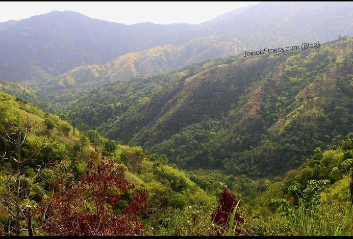
This content is made available with the intention of helping you visually gather insight into some of the geologic & geomorphic (landform) features within the focus area, that are actively influenced by the tectonism of the Plantain Garden Fault Zone & associated faults, chiefly.
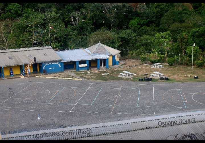
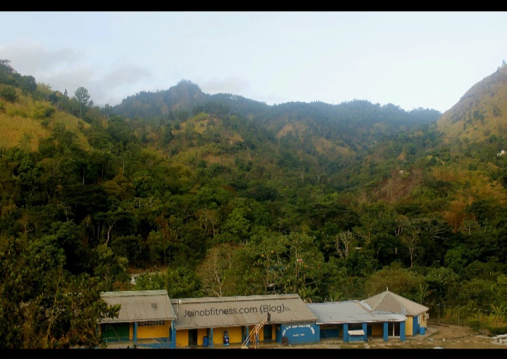
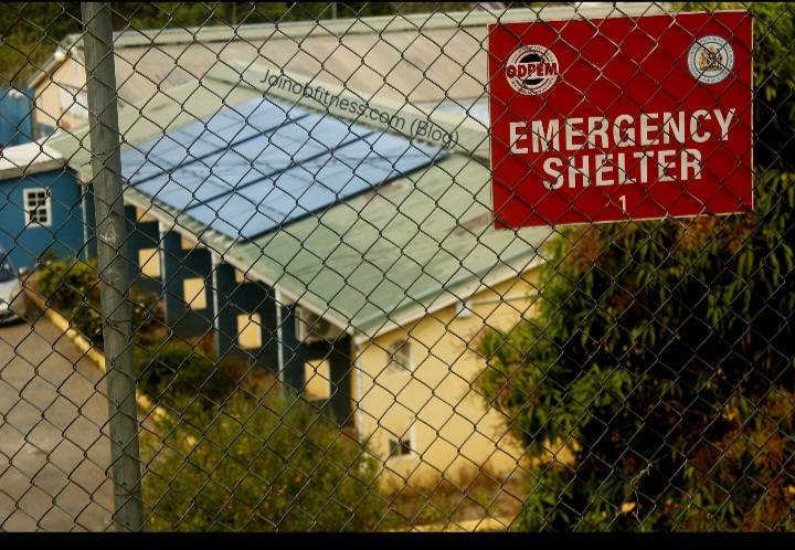
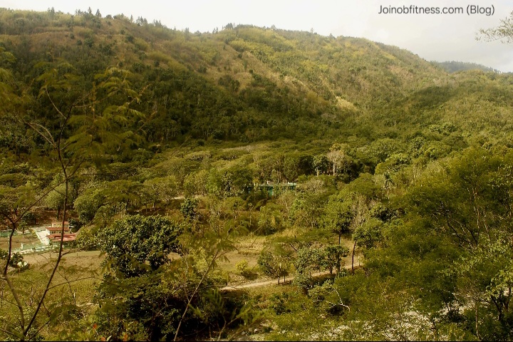
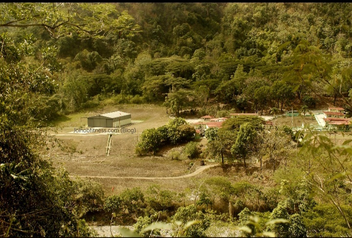
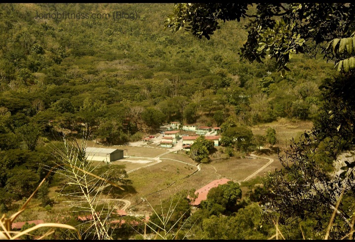
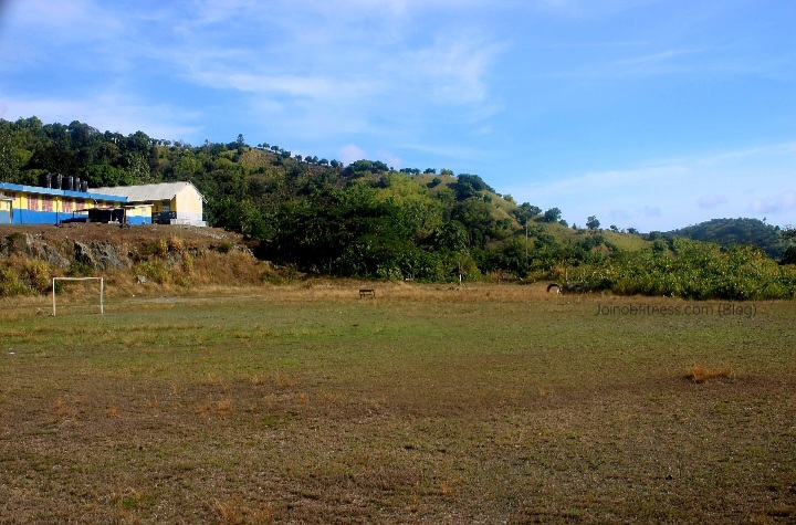
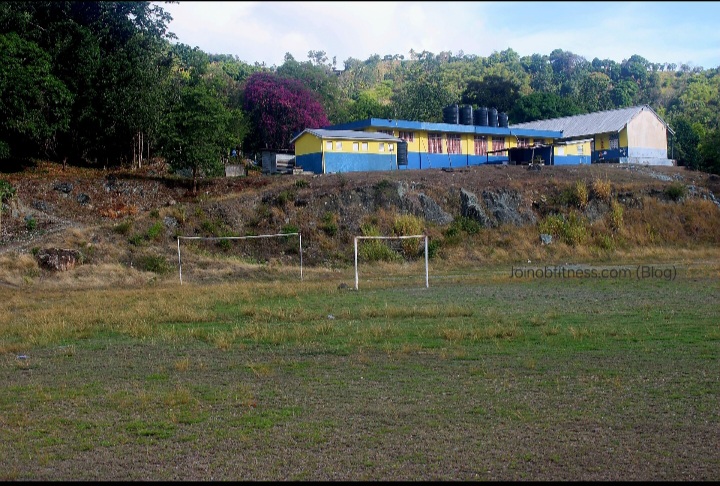
Mavis Bank High School: The Mavis Bank High School is situated in an apparent depression (Graben), between 2 up thrusts (horsts). This is a designated ODPEM (Office of Disaster Preparedness & Emergency Management) Emergency Shelter.

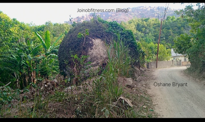
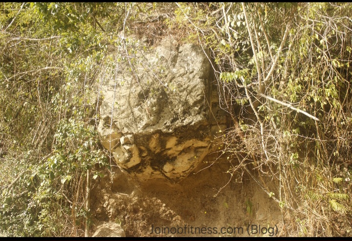
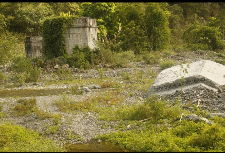
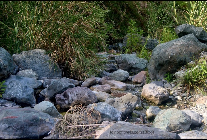
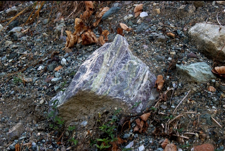
These boulders were observed approaching the Yallahs River from Mavis Bank High School direction. The size and shape of these boulders are similar (size, geology) to those observed approaching Mavis Bank Square from Guava Ridge; and those observed at the foot of Halls Delight & Westphalia. This adds further support & insight into the scale (magnitude and spatial extent) of past big earthquake(s) within this region.
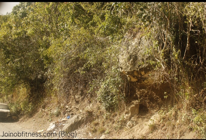

Indicative of past strong earthquakes.
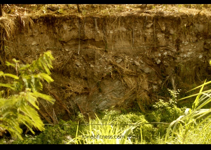
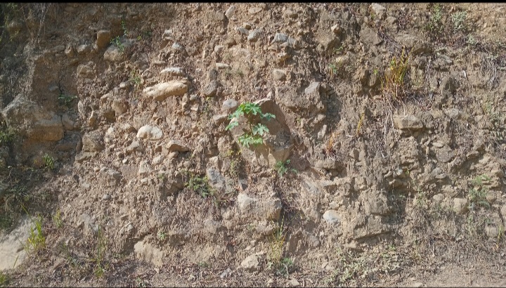
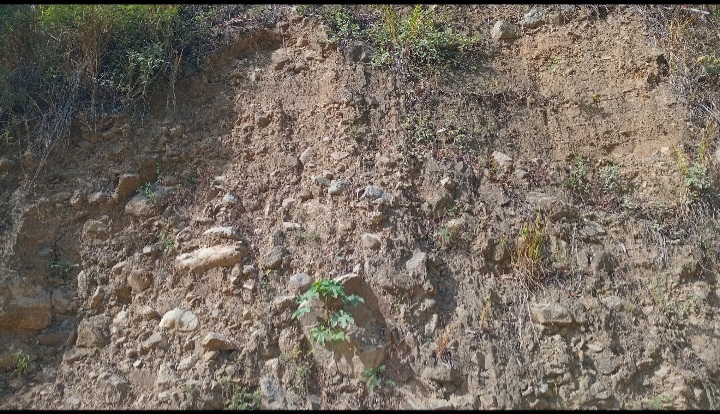
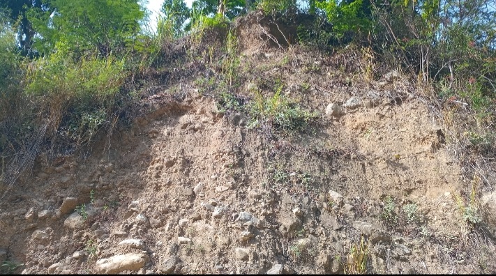
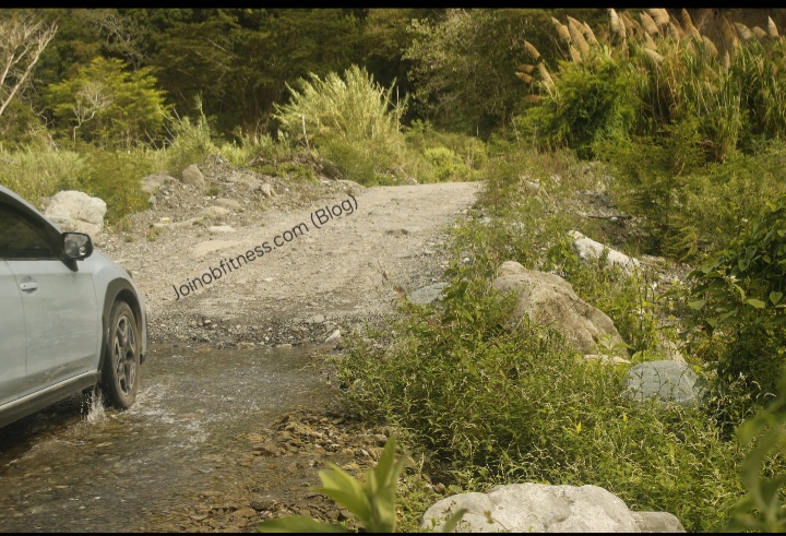
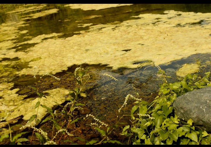
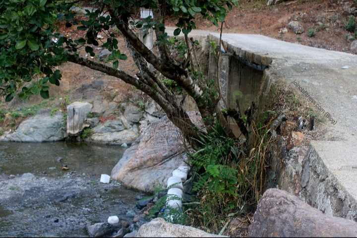
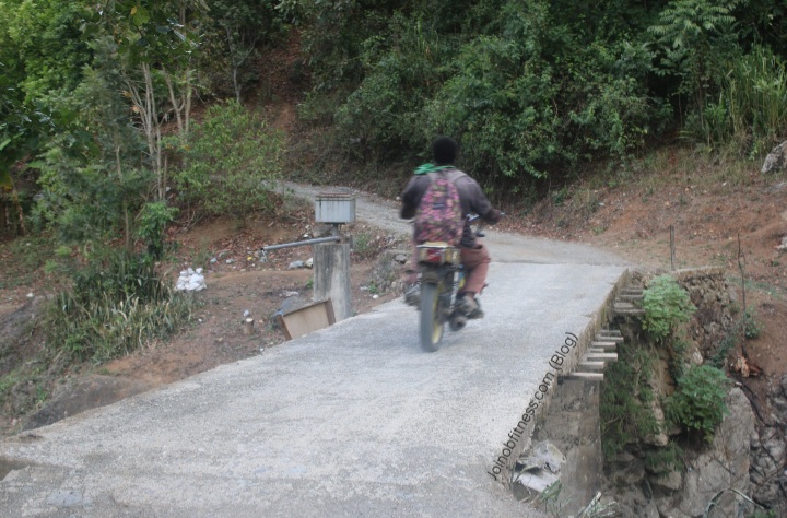
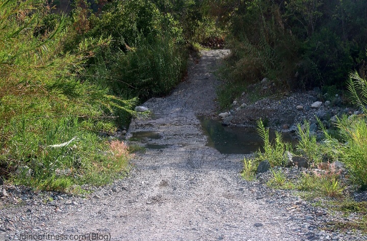
The damaged bridge is indicative of past big flooding , and/or earthquake activity. The current flow of a section of the Yallahs River across the bridge (base flow/drought levels), is indicative of relatively recent/current subsidence (sinking) of a section of the bridge.
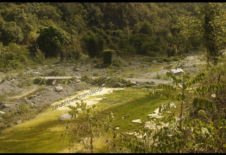
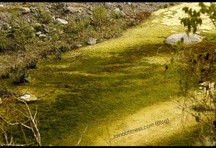
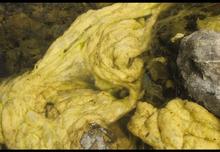
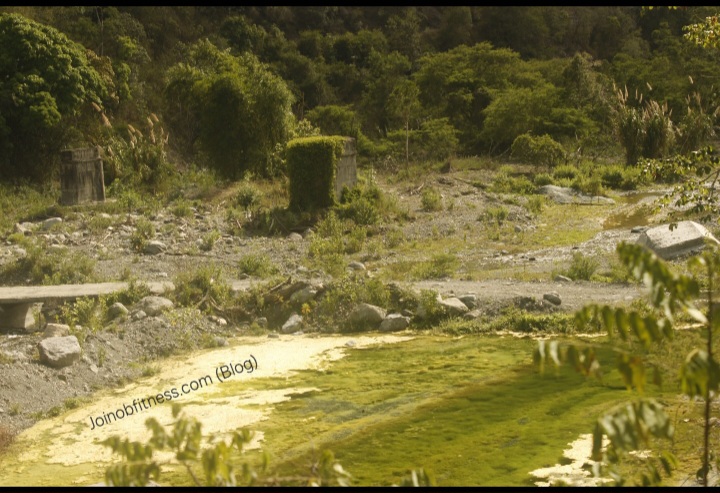
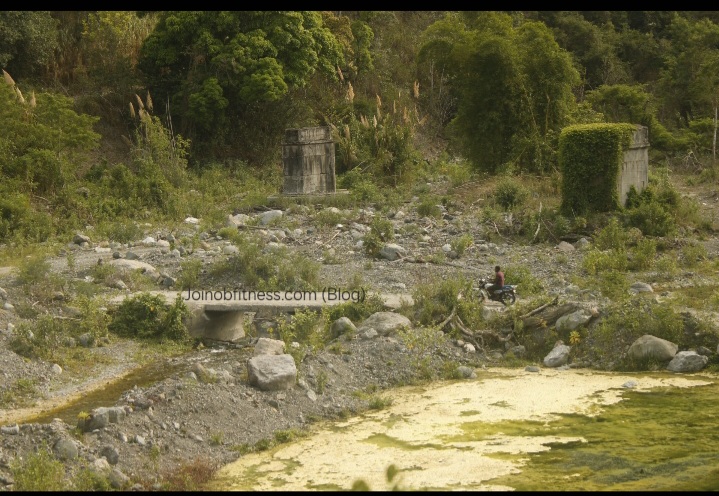
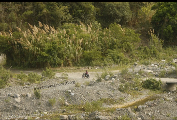
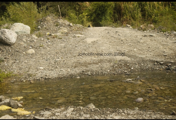
What you should takeaway are the following:
These observations give insight into the application of appropriate engineering on the part of the JDF, to the Geologic realities: Yallahs river being one with the potential of yielding big floods. This area being seismically active; and has the capacity to yield big earthquakes.
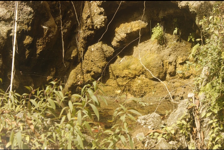
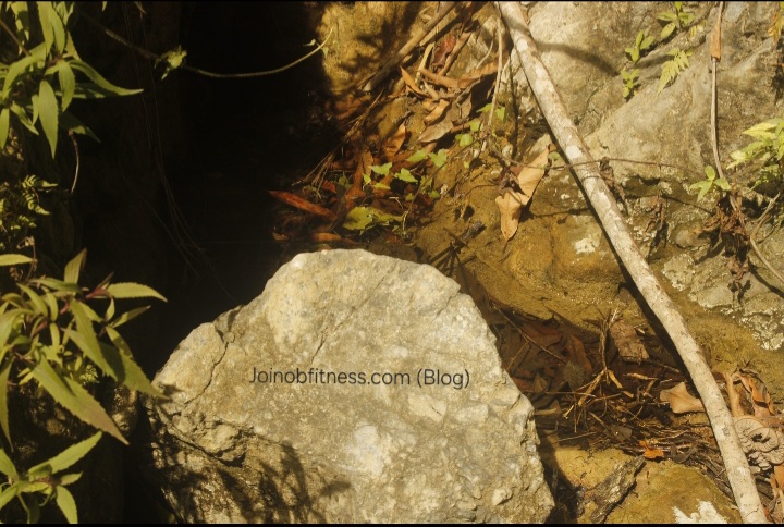
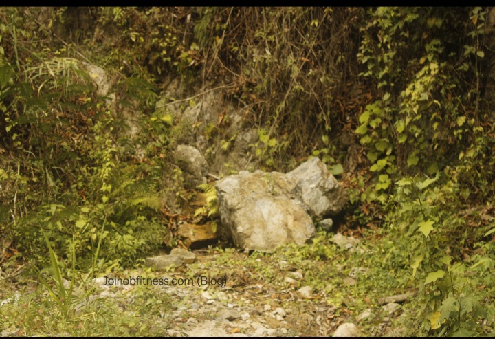
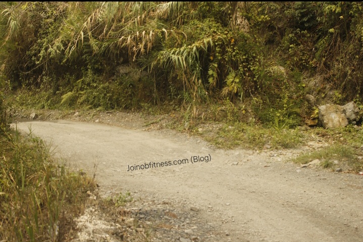
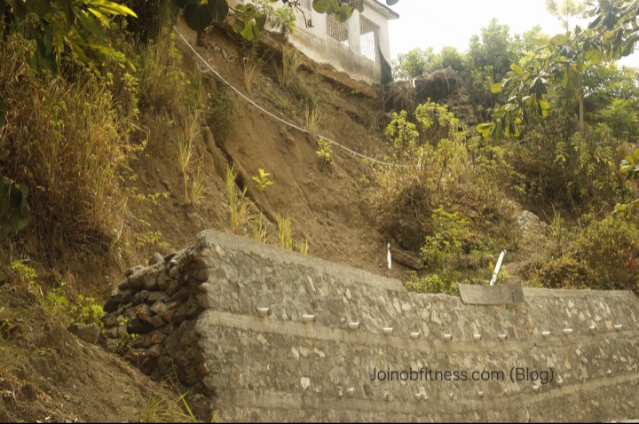
The location of this church building should be abandoned. We discuss further in our report.
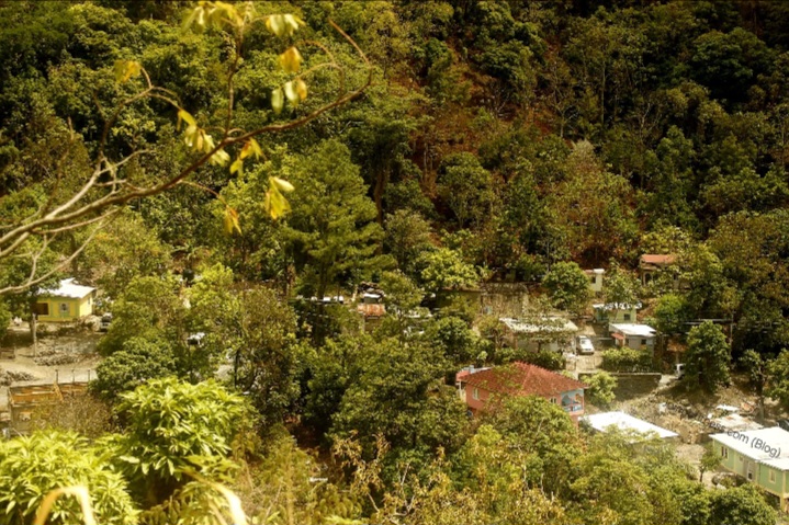
Hagley Gap, St. Thomas, Jamaica
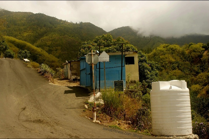
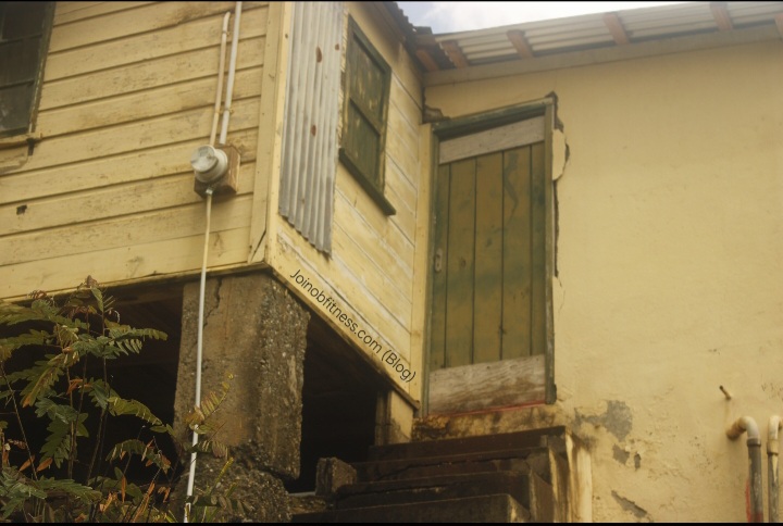
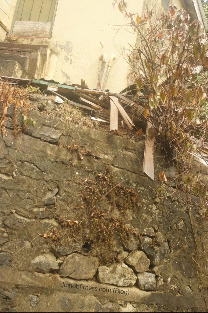
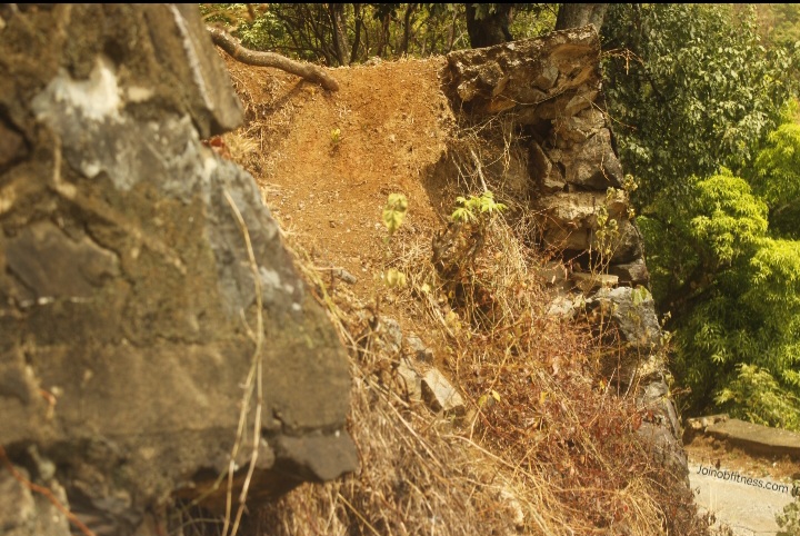
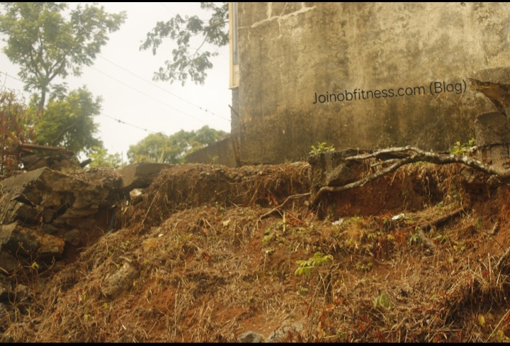
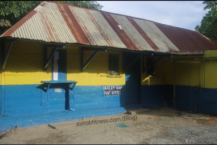
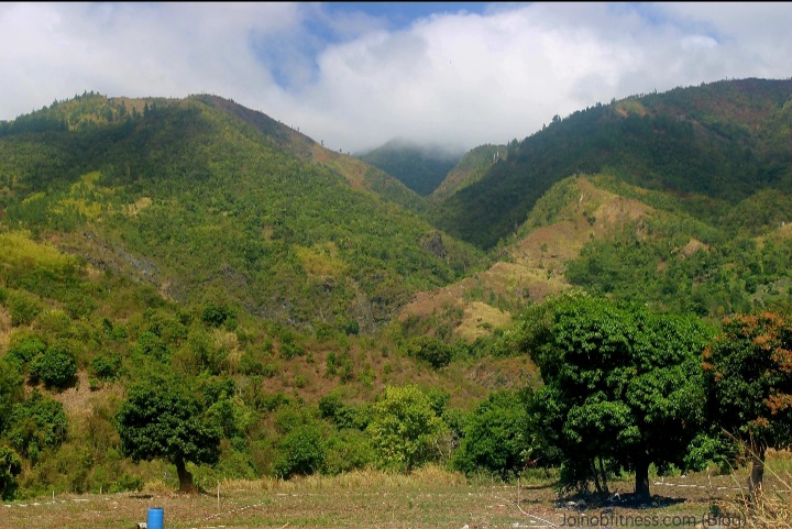
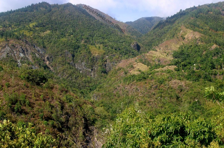
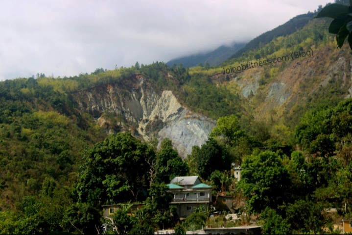
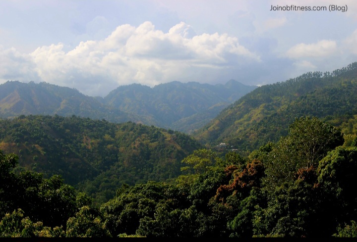
Hagley Gap Community Scenes

Online Training by Oshane Bryant
12 Individualized Exercise Sessions (1 Month) with Loyal Group (online) Access.