




Watch Episode 1

14 min Duration (include Ads)
Boulders, Displaced Strata, proof of recent major events. Close proximity (within 15km) of the Kingston Metropolitan Basin.
In this video, through the combination of our field observations; Stratigraphy techniques; citation of a research paper; and close inspection of Google Terrain Maps, we share/provide insight of the relatively recent & repetitive succession of Big Earthquakes.
Through our inferences and observations, we connect these to The Plantain Garden & Wagwater Fault Zones.
The details shared in this video have direct relevance to the Earthquake Disaster Planning of the Kingston Metropolitan Area; Real Estate, and other similar sectors.
Episode 2: Available October 8, 2026.
View Shorts Below
After 3 Months of Mapping, Tens of Thousands (Residents) Are Exposed to Active Faults in Kingston & St. Andrew.
What began in June 2026, became complete on September 12, 2026. This included a total of:
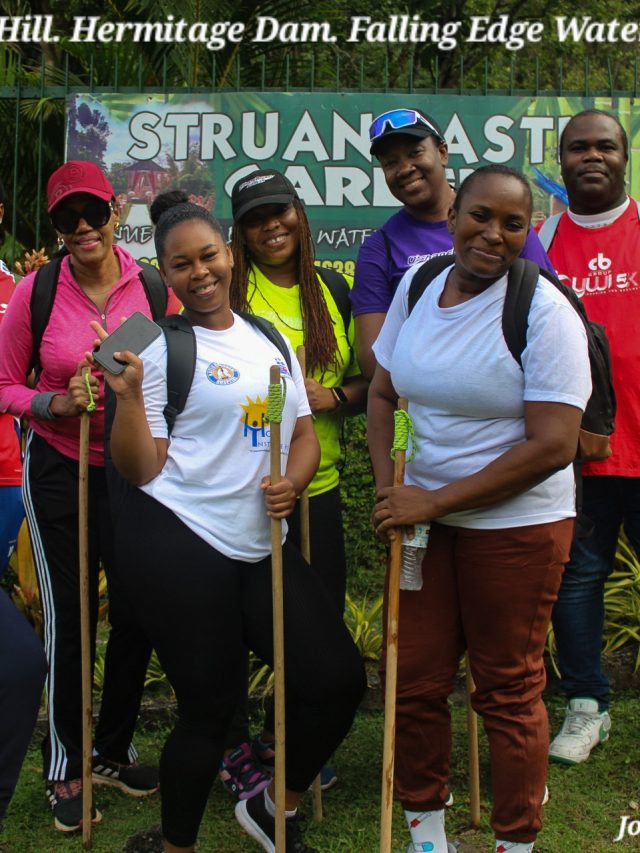
- Over 130km of hiking & mapping.
- Over 200km of driving & mapping.
- Over 760 hours in mapping, report-writing & videos creation (over 80) for layman & professionals alike to consume.
The Primary Aim?
Help residents, and business interests alike within the parishes of Kingston & St. Andrew, and Jamaica in extension, reduce their vulnerability to earthquake hazards.