Sinkhole Under Paul Bogle Highway: Grants Pen St. Thomas, Real Estate Relevance
Author
Oshane Bryant
Date
November 18, 2026
Share
[article_adsense]
Filter By Category
Stay Updated
Subscribe to receive all updates on O’Shane Bryant Fitness Limited.
Make The Time – Live Active
Better Nutrition. Better Habits. Better Living
Exercise 28 Days Beginner & Senior-Friendly
Be Prepared -Awareness
California 2025 Population Change
How We Encountered The Sinkhole Under Paul Bogle Highway
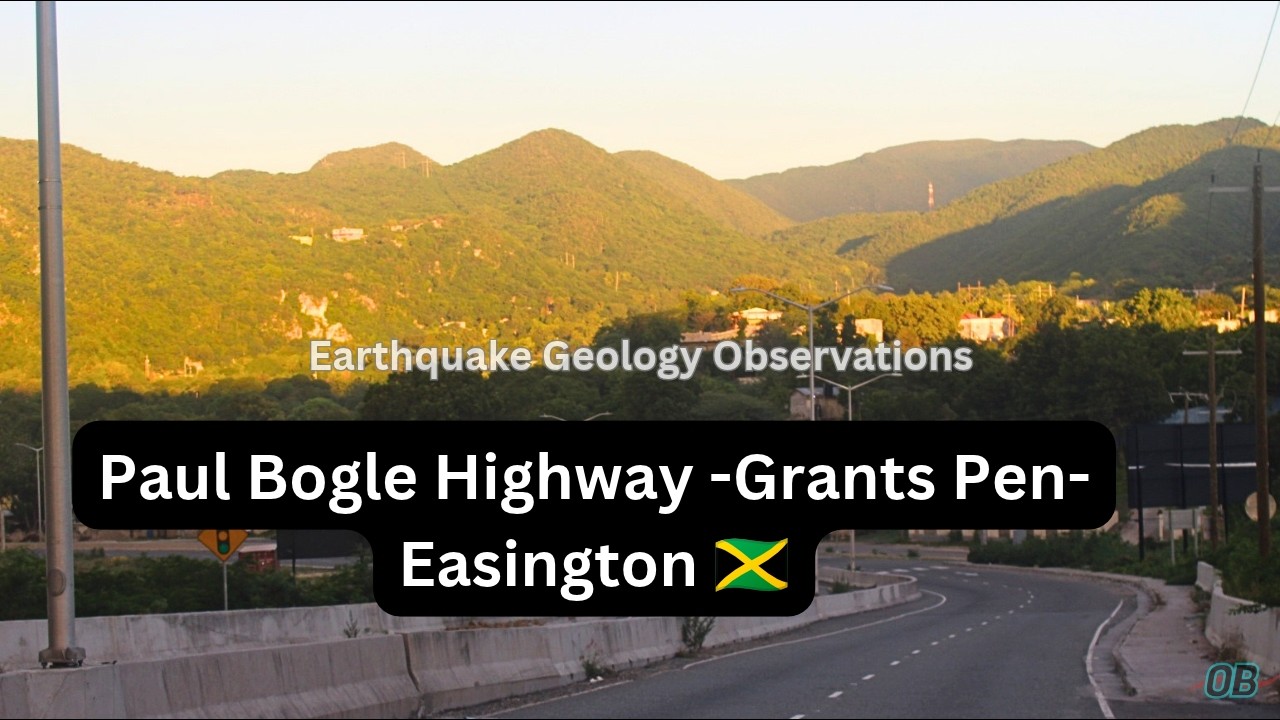
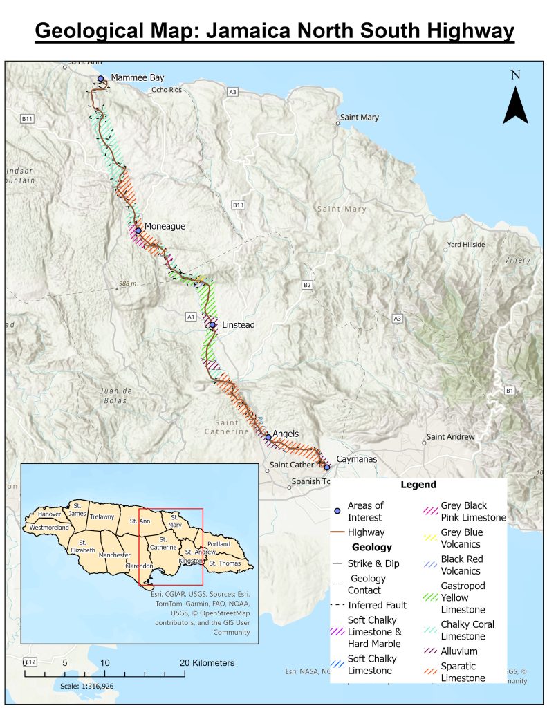
On November 14, 2026, we were conducting earthquake geology mapping of the corridor: Paul Bogle Highway (11 Miles Bull Bay)-Easington & Heartease, St. Thomas, via Grants Pen & Albion (St. Thomas). Prior to our encounter of this sinkhole, we encountered other rock strata with features that guided us to classify those rocks as Cave Deposits.
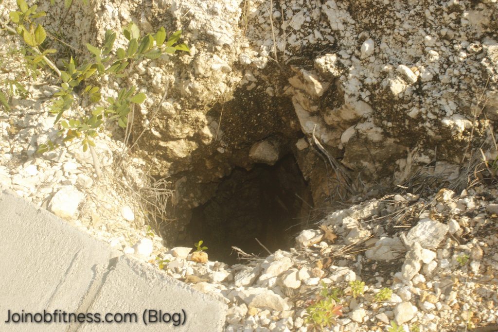
At the specific location of focus herein, the cobble-sized rocks in the V-Drain of the highway (fallen from the cut slope face), grabbed our attention first. Then it was the black hole of the sinkhole, adjacent the drain, that followed.
We did not capture the definite coordinates of the sinkhole whilst in the field.
The Sinkhole in Photos
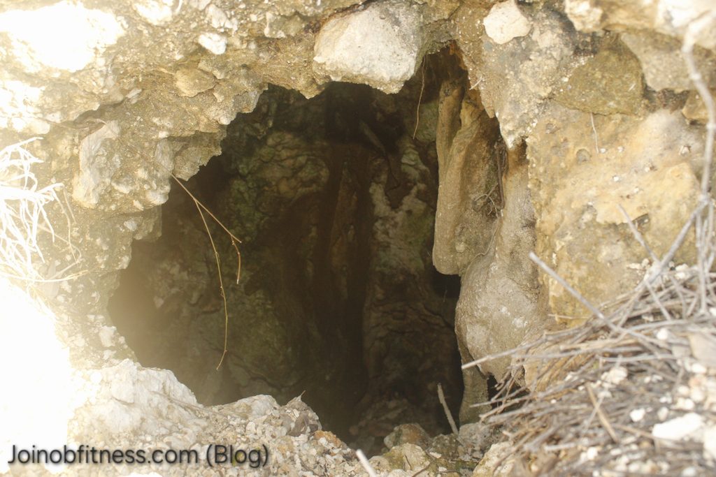
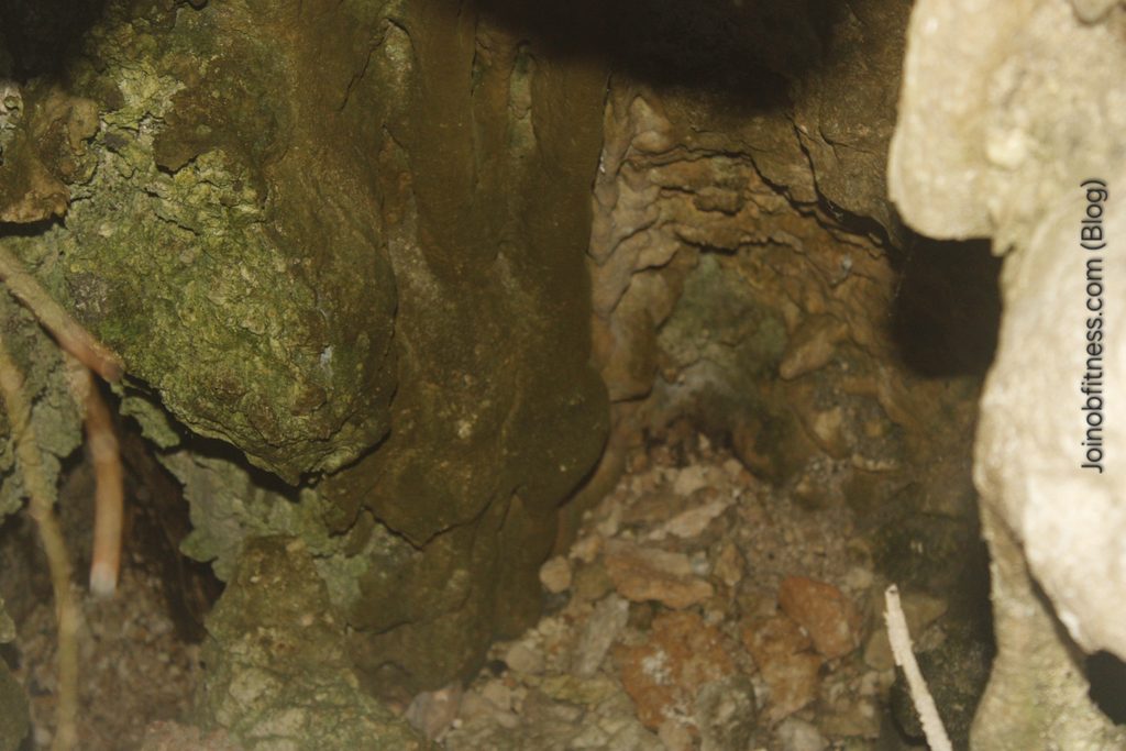
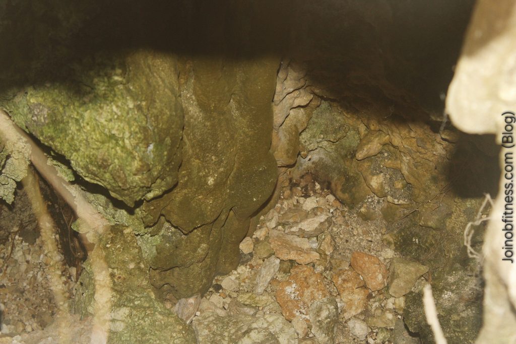
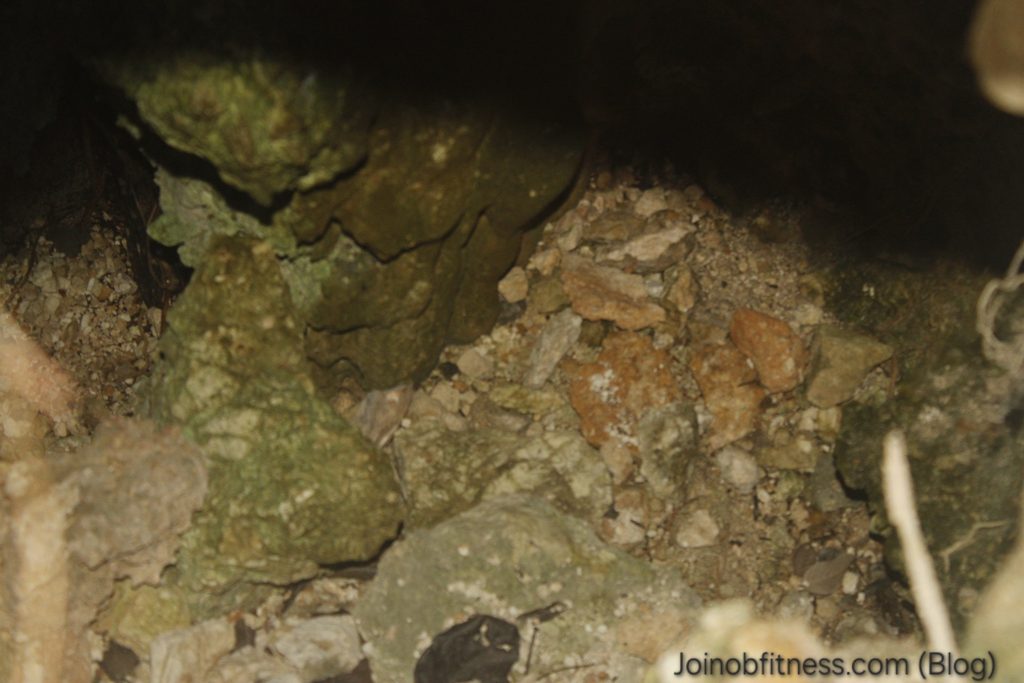
Entry to sinkholeClose up of sinkhole entrance with capture of sinkhole floor, give insight of depth.Close up of sinkhole floor with rock debris, indicative of active collapsing of roof. Left of image is another section of the sinkhole floor, indicating the diameter inside the sinkhole is greater than the entryway.
Relevance of This Sinkhole Find in Grants Pen, to it’s Real Estate
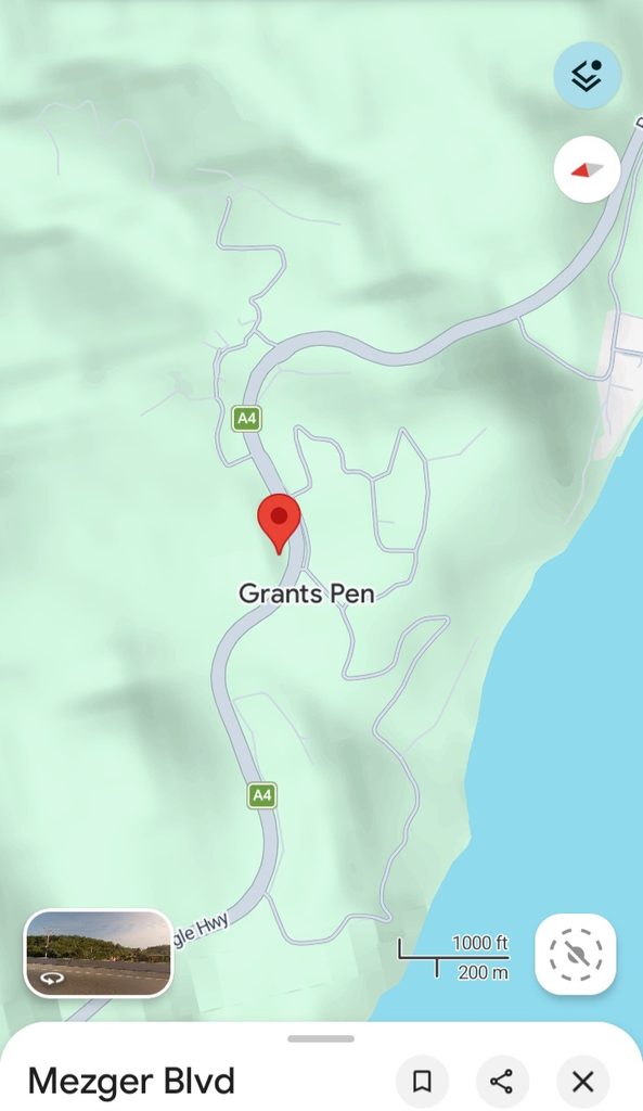
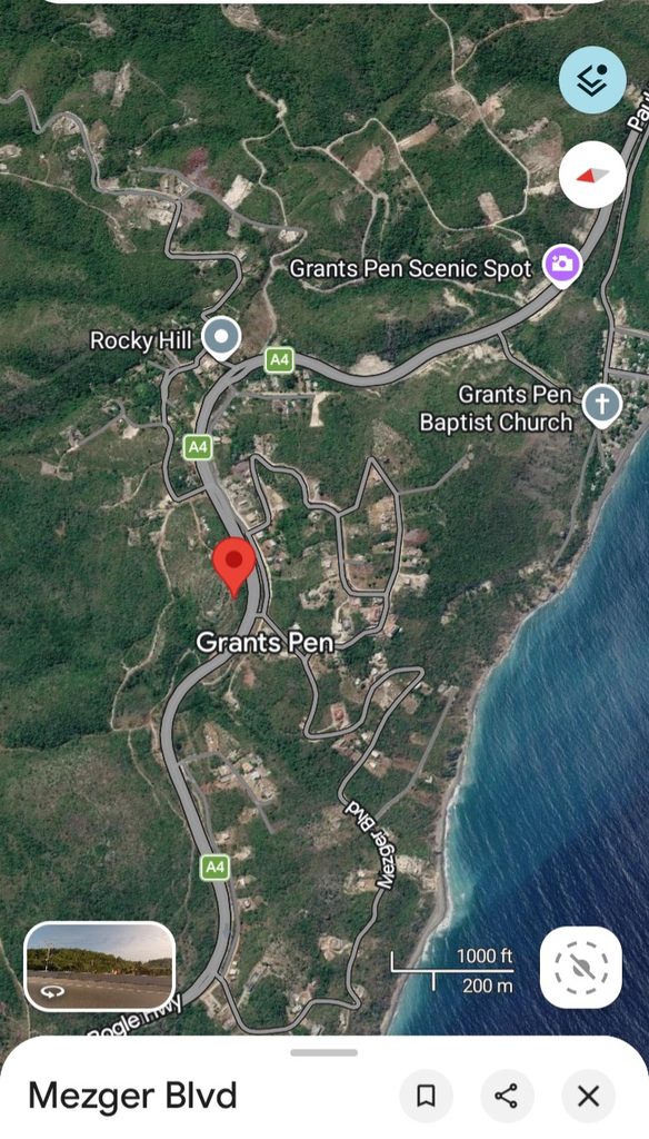
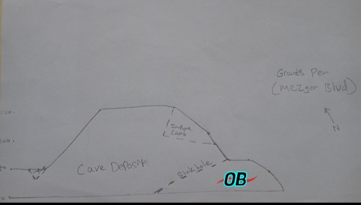
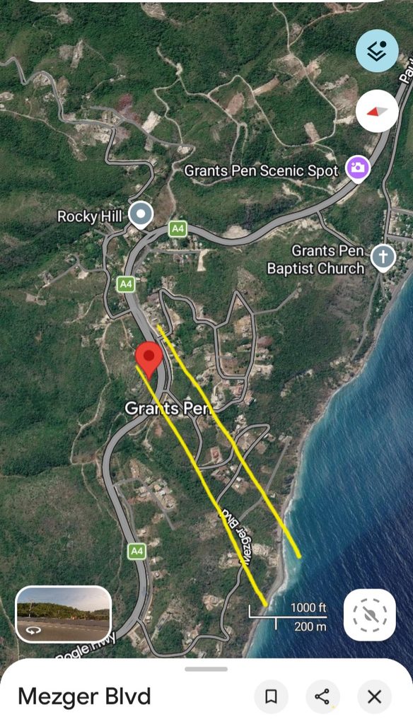
Our sinkhole of focus herein exists within the Grants Pen St. Thomas (Mezgar Boulevard) area. With the images herein supported by the Google Terrain & Satellite Maps, as well as our constructed geology cross-section of Grants Pen below, the following can be gathered/interpreted:
The Grants Pen community predominantly exists on carbonate (potentially limestone) geology.
Cave deposits (karst) dominate.
The cave deposits can exist with vertical channeling (beneath surface) extending several meters within relatively close proximity.
The directional flow/architecture of the sinkhole(s), can align specific to the dip direction/ trend of faults under ground.
Terrain view of Grants PenSatellite view of Grants PenGeologic cross section of Grants Pen. As highlighted, the sinkhole exists nearest to a fault with a West- South-West Dip.
Have conducted sub-surface site investigations by geologists or similar professionals, with ground penetrating radar or similar geophysical equipment. These equipment can capture the sub-surface morphology of the land up to meteres in depth. This is applicable for sinkhole identification, and ground stabilization, as examples.
Avoid building your property along the trend of faults; Subsidence (surface collapse beneath or near your property can occur.
Inferred earthquake-fault trend area (yellow boundaries) of sinkhole observed on highway.