
single post
Subscribe to receive all updates on O’Shane Bryant Fitness Limited.
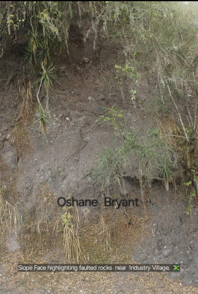
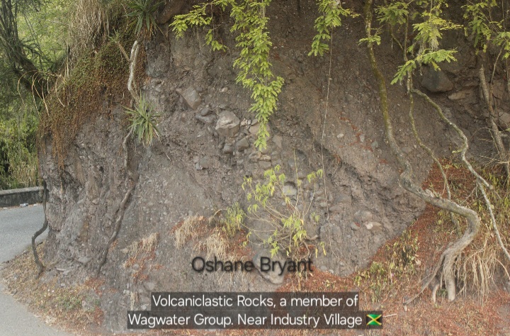
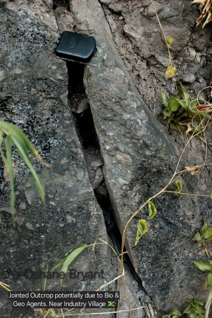
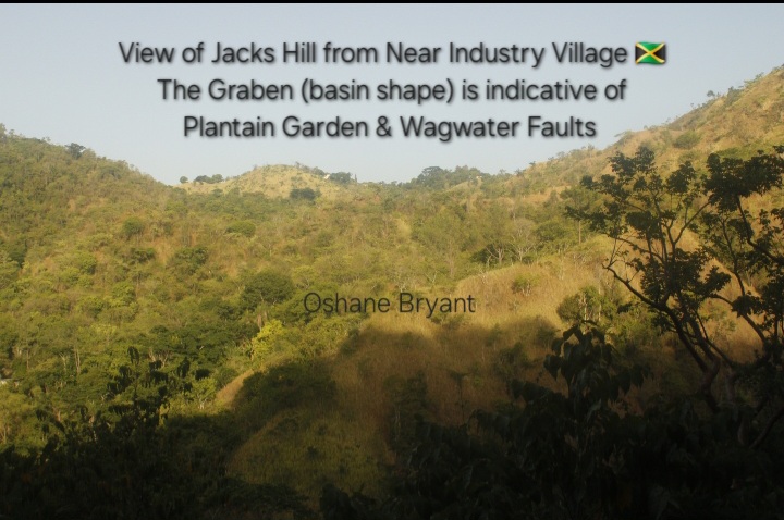
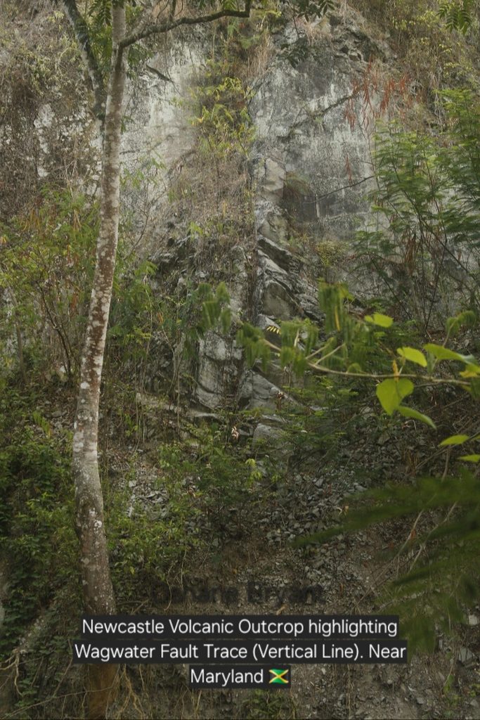
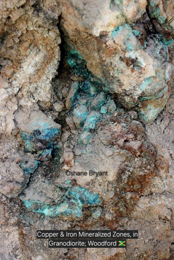
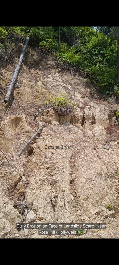
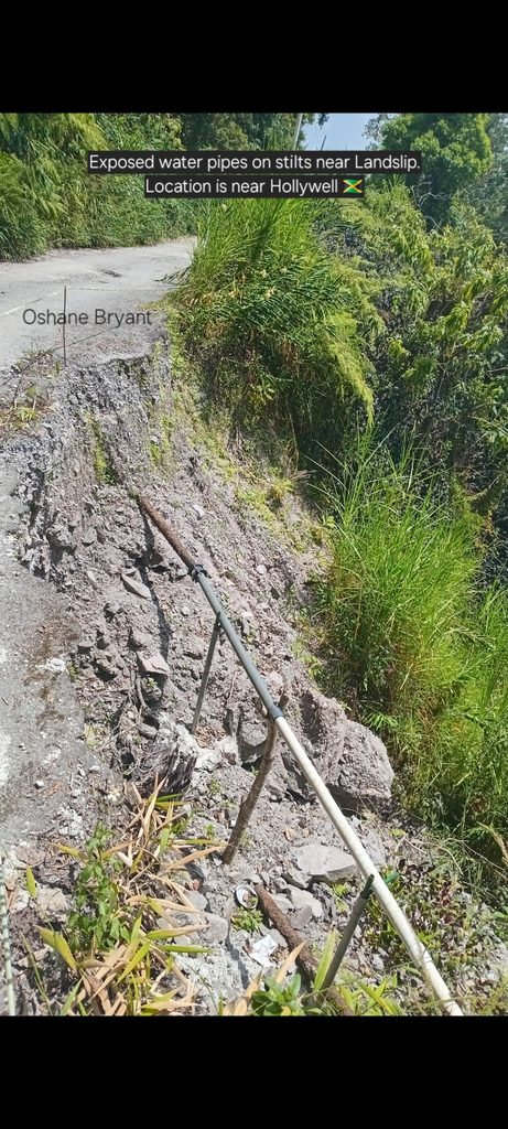

This report functions as the one that gives detail on the nature of the fault activity specific for The Wagwater & Plantain Garden Faults, within the Eastern fringes of the St. Andrew parish (Jamaica).
Through this report you (the reader) will have stronger knowledge of the tectonic nature of these 2 dominant faults, specifically within the regions of focus. You will also receive insight into their active role behind transforming the landscape of the areas of focus (primarily Woodford-Hollywell-Blue Mountain Trail). And you will learn of other notable observations.
As a whole, at the end of going through, and/or watching through the video format of this report, you will be armed with greater knowledge than can be beneficial for the regions in the areas of:
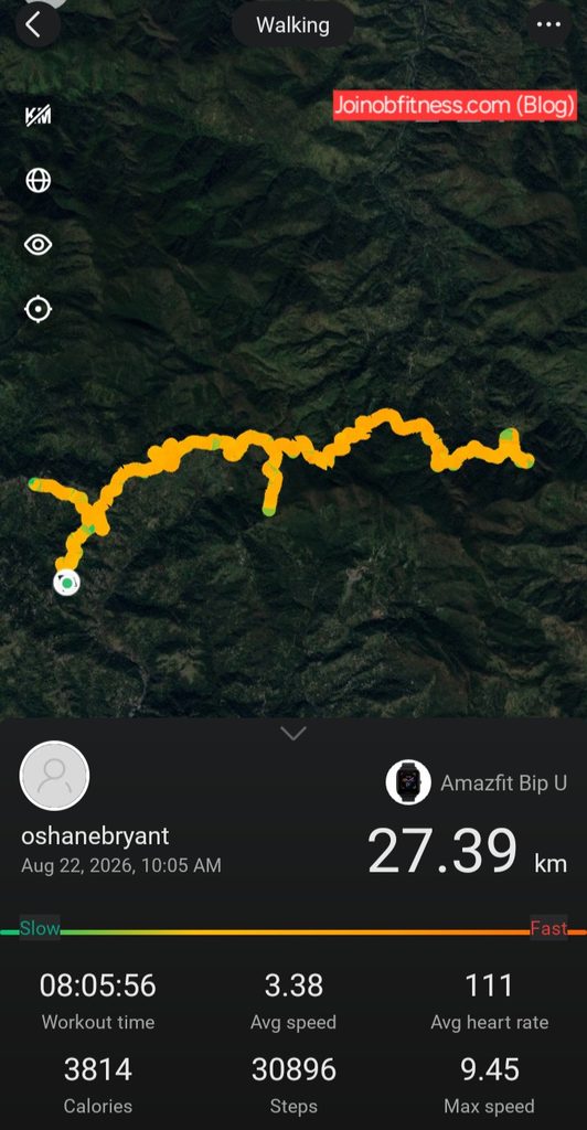
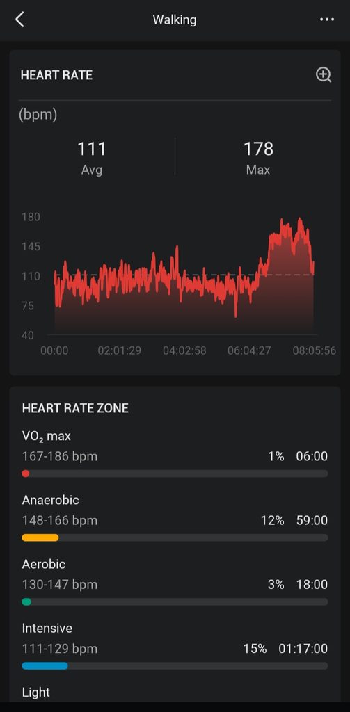
On August 22, 2026 Field Geology Mapping was conducted over a period of 12 hours. 8 of the 12 hours took place on foot. The images immediately below reflect the route traversed (on foot), as well as a reflection of the the intensity of the mapping on my heart (reflected as heart rate reading).
Prior to this phase of mapping, Reconnaissance via Satellite Imagery observation (landscape) occured the day prior; and finalization of non-digitized maps & Cross-sections+ this report, the day after.
Online Training by Oshane Bryant
12 Individualized Exercise Sessions (1 Month) with Loyal Group (online) Access.
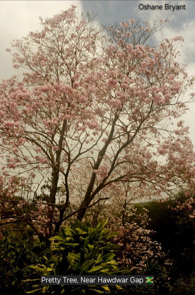
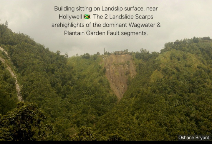
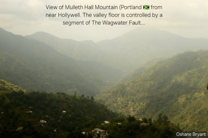
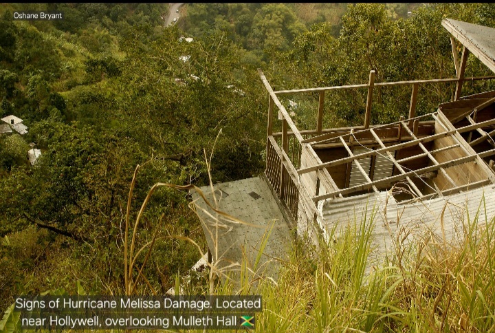
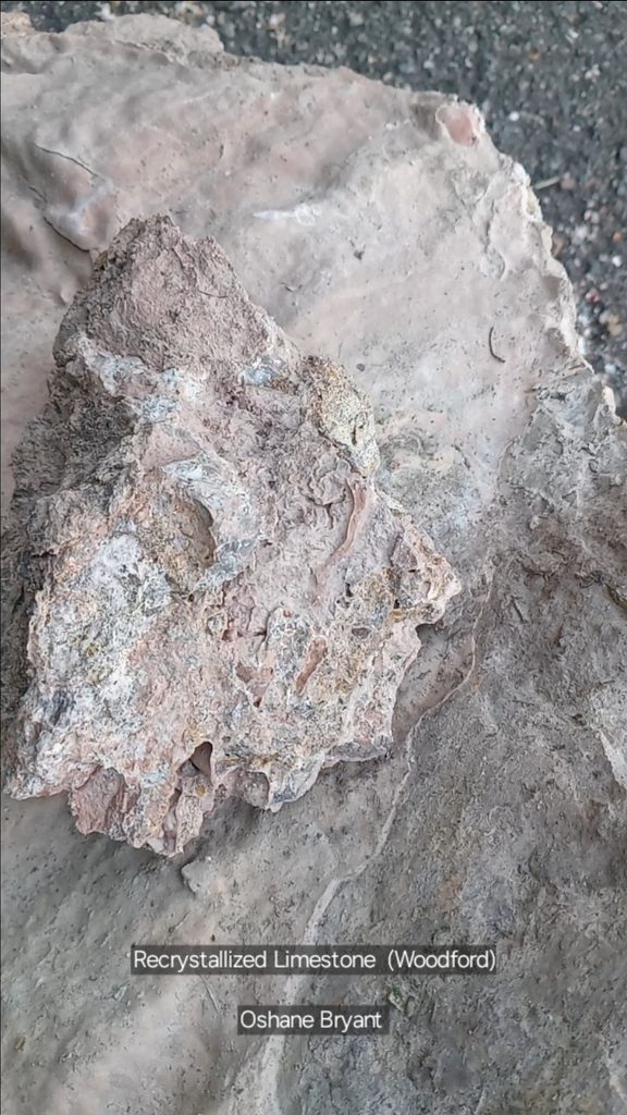
The image gallery below represents our observations made within the study area.
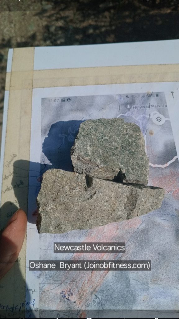
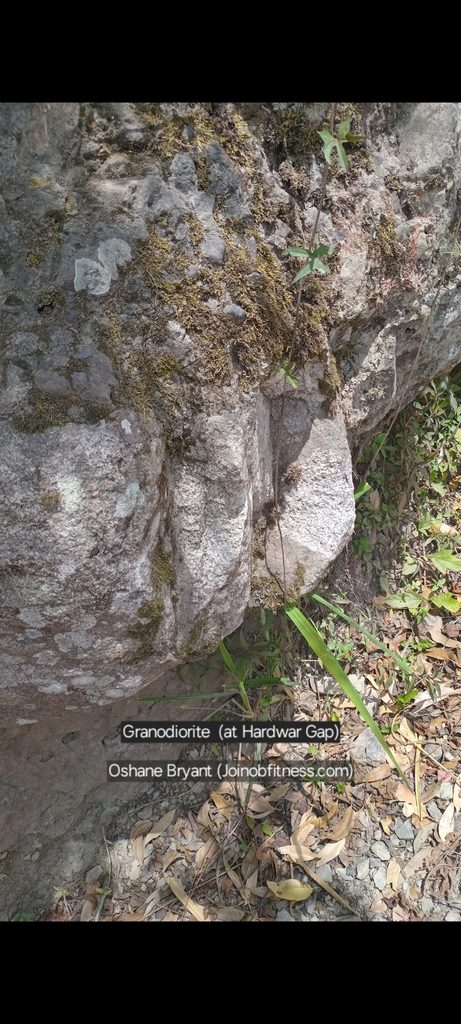
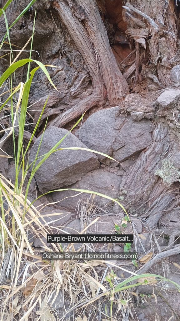
Our maps and Geologic Cross-section function as the visual behind our discussion(s) and recommendations, to follow. As per the maps, this area is highly faulted.
You must be a Premium Section member to access this content.
The lithology observed reflect a history of past active volcanism. The lavas were a mix of Basalt, Andesite & Rhyolite. This indicates that the volcanism was Back-Arc to Fore-Arc setting (intra plate/inter plate Subduction).

You must be a Premium Section member to access this content.