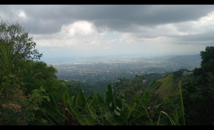

Overview
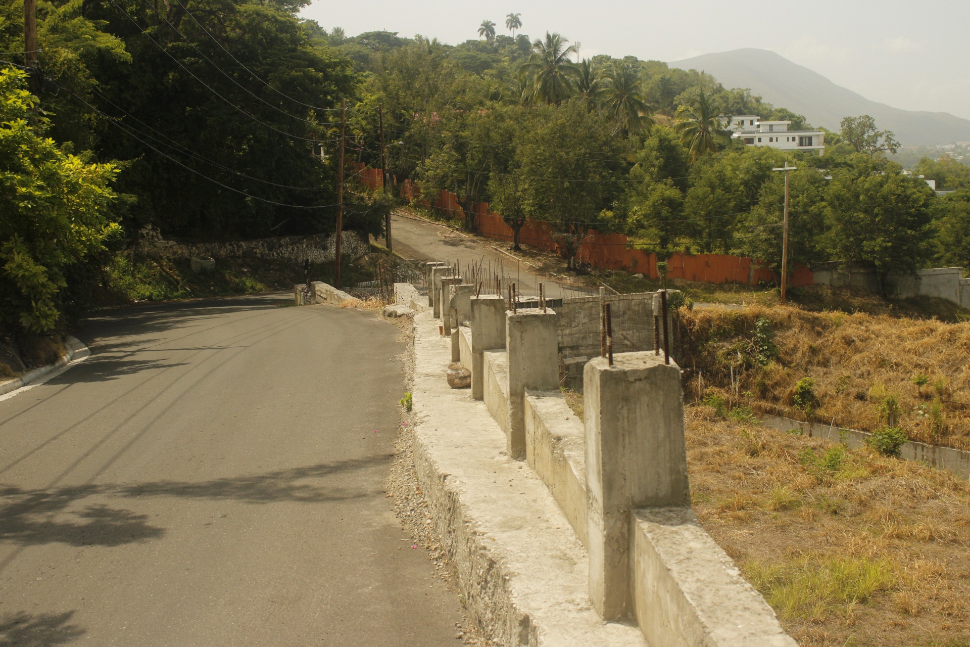
The Mapping terrain of Norbrook-Woodford highlights compression & uplift, dominated by the Wagwater Fault(s); and lateral shifting, if you will, dominated by the Plantain Garden Fault(s). But what is also revealed in the field, is evidence of terrain pull apart- a difference as a hazard to home/community dwellers chiefly, compared to our other mapped locations, such as:
Mapping Methdology
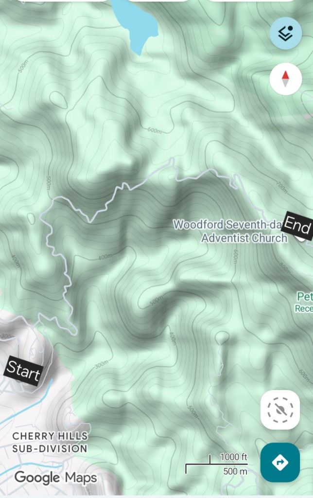
On August 8, 2026, with the usage of Google Maps as my base, I set out to walk & map the 17km route. The route began at the beginning of Hill Road (Norbrook), and ended at Woodford Seventh Day Adventist Church, in St. Andrew, Jamaica. Rock Type, Inferred fault locations, Strike & Dip amount + orientation, as well as other landscape observations were recorded, primarily in photos & videos.
Lithology Observations
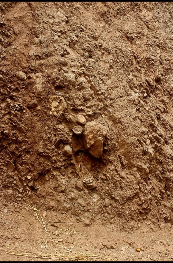
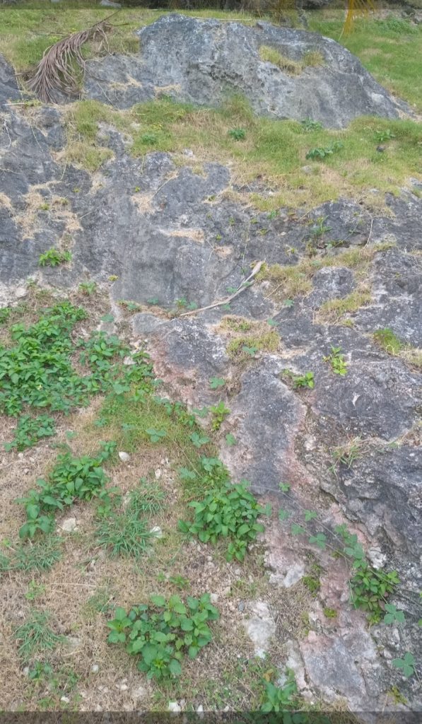
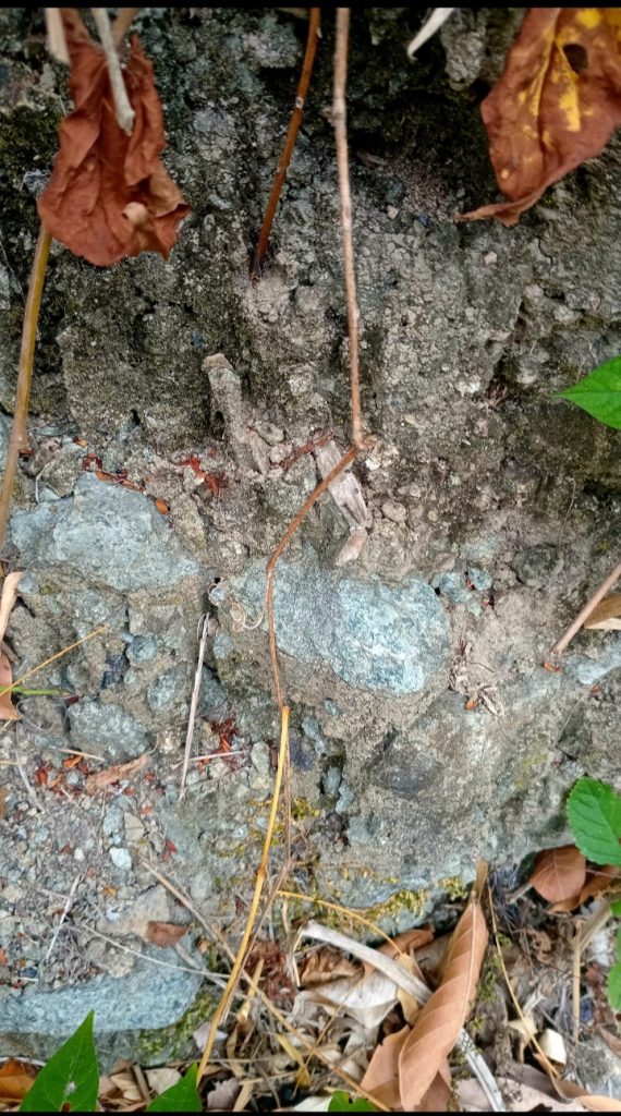
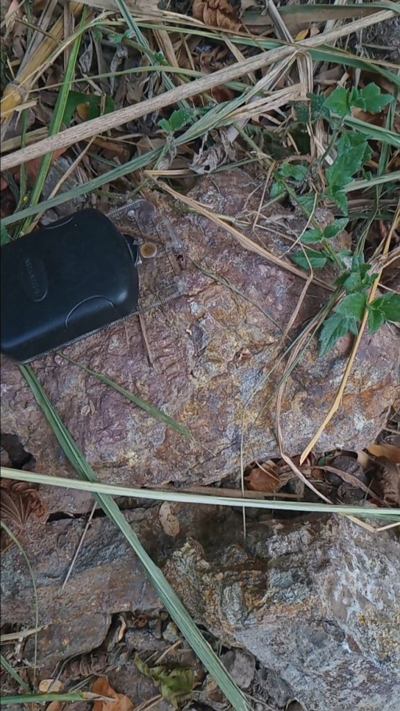
Blue-Grey/Purple Volcanic with Rust-Colored Oxidized Zones
Geologic Map & Cross-section
Pull Apart Landscape/Uplift-Drop-Co-Plantain Garden & Wagwater Faults Dominated
Observations in the field revealed a landscape with displacement of hills. At foot traversing scale, this displacement is identifiable as relatively wide joint spaces (.5m- 1+m); and at a given location, whilst looking up on a natural drainage, 3 joints at .5m and above in width were observed, with boulders present, and sign of past Landslip.
With the cross section model above as reference, this pull apart can be seen at the red & orange colors boundary. Based on the cross-section, and slope design, this pull apart appears as a feature of subsidence (elevation drop)–Wagwater Fault influence. However, when you observe the cross section in alignment with the North Arrow, the pull apart is left shifting (West-dominant movement)–Plantain Garden Fault influence.
This is significant because at the very least, how we as Geologists are dominantly led to interpret Strike Slip fault movement (like The Plantain Garden Fault), is as a side to side movement only. However, the closeness of The Plantain Garden Fault with The Wagwater Fault, highlight that The Wagwater Fault movement, or less movement in respect to The Plantain Garden Fault, is critical in terms of elevation change on the surface. This combined action of the faults is how Transpression & Transtension are expressed in the Geologic literature. And this elevation drop or rise, exposes home dwellers on hilly terrain within this area, to an additiol hazard nature to their foundation and overall home, relative to left/right shifting, on flat terrain alone (KMA)
Significance of Knowing Where Active Segments of Both Faults- High
In addition to knowing the behaviour characteristics, knowing where active fault segments of both of these Earthquake systems is significantly high. This knowledge can greatly help you to mitigate losses due to earthquake & Non-Earthquake activity associated with the faults.
Each time a felt earthquake is reported by The Earthquake Unit of Jamaica, you should be seeking out where is the epicenter relative to your home. This is where our Free Earthquake Epicenter Maps (updated after each reported felt event), are a valuable resource.


Online Personal Training System-12 Sessions Monthly (Automated Payment)
Online Training by Oshane Bryant
12 Individualized Exercise Sessions (1 Month) with Loyal Group (online) Access.
- Initial Fitness Assessment must be paid for (new member/client).