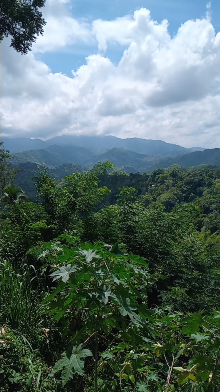

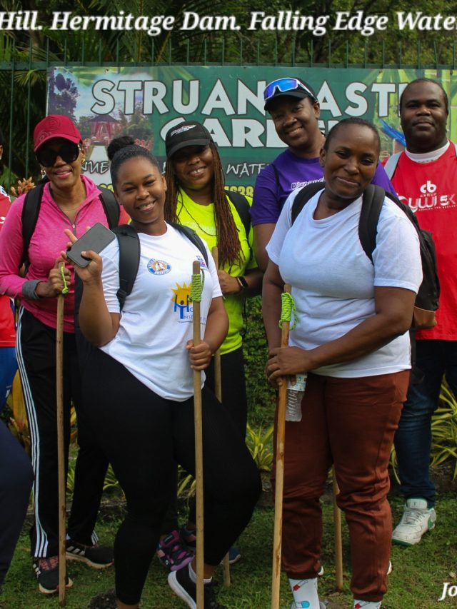




This post displays our highlights from our field geology mapping (earthquake-relevant) of Hagley Gap-Cedar Grove, St. Thomas, Jamaica; conducted on October 3, 2026.
It’s important to note that this is not the Earthquake Geology Report.
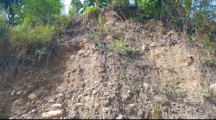
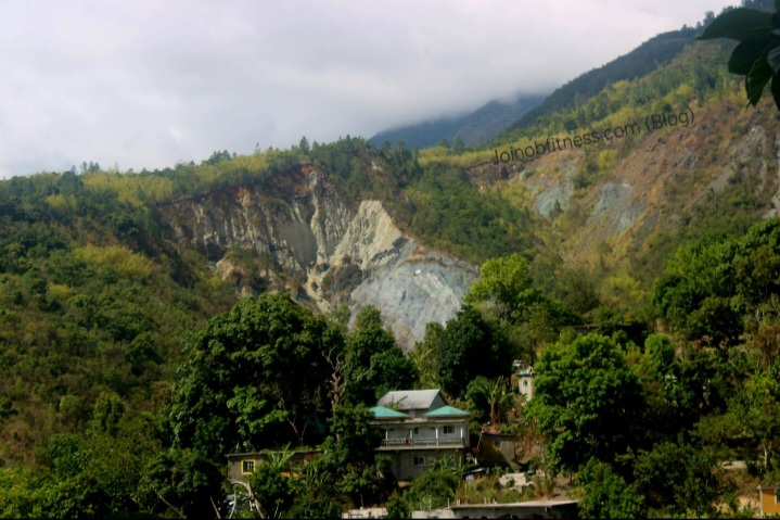
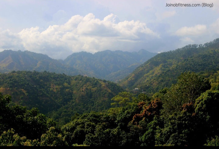
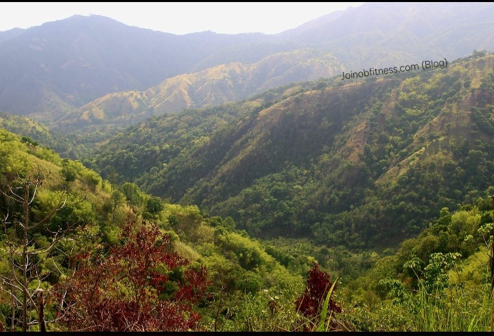
This contenr is made available with the intention of helping you visually gather insight into some of the geologic & geomorphic (landform) features within the focus area, that are actively influenced by the tectonism of the Plantain Garden Fault Zone & associated faults, chiefly.
Mavis Bank- Hagley Gap via Yallahs River Crossing
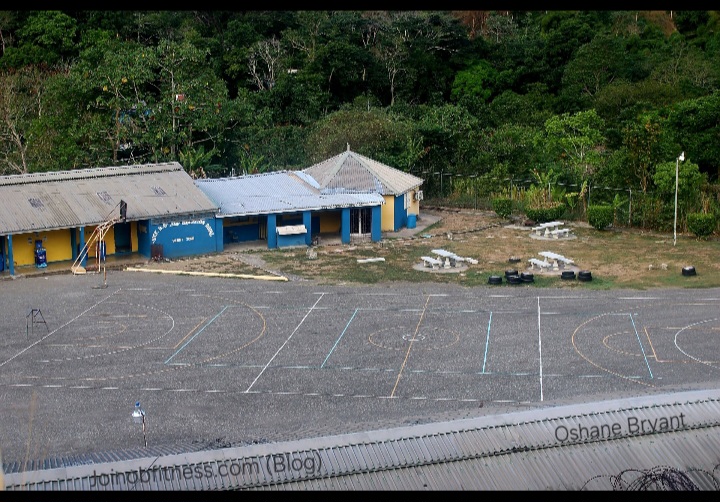
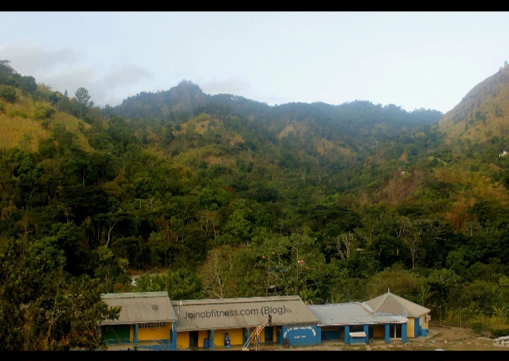
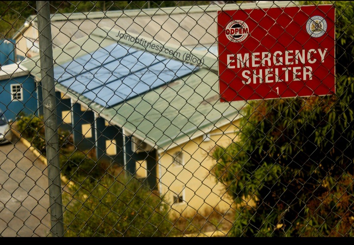
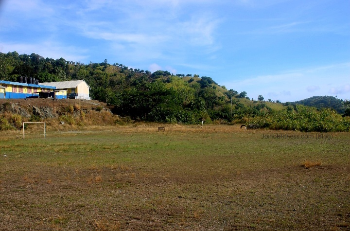
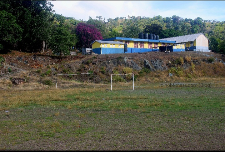
Mavis Bank High School: The Mavis Bank High School is situated in an apparent depression (Graben), between 2 up thrusts (horsts). This is a designated ODPEM Emergency Shelter.

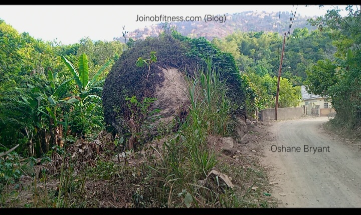
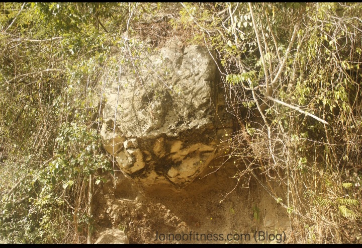
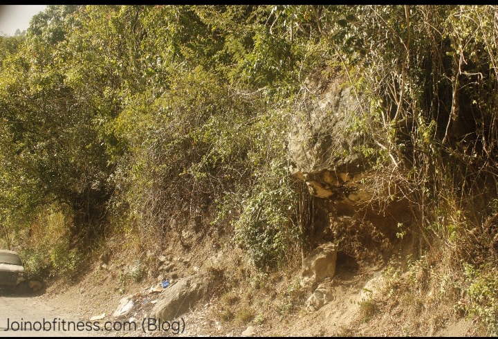
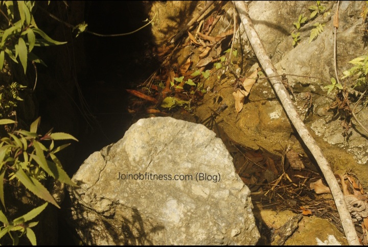
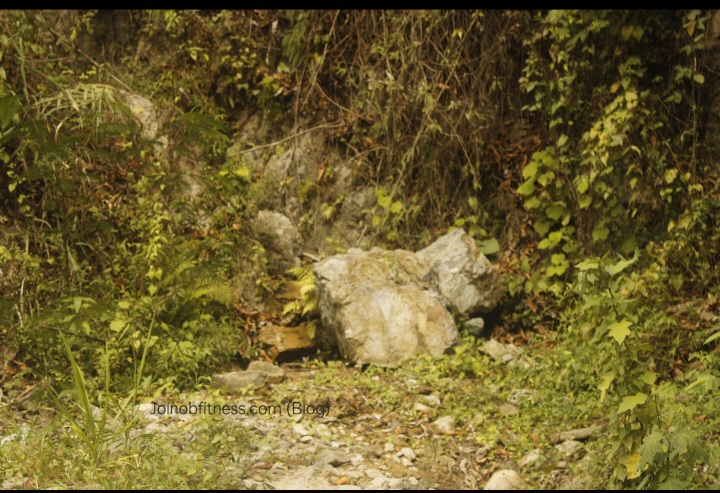
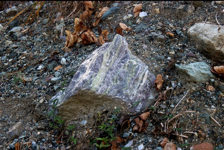
Massive Boulders (near Yallahs River)- Indicators of Past Big Rockfall & Flood
These boulders were observed approaching the Yallahs River from Mavis Bank High School direction. The size shape of these boulders are similar (size, geology) to those observed approaching Mavis Bank Square from Guava Ridge; and those observed at the foot of Halls Delight & Westphalia. This adds further support & insight into the scale (magnitude and spatial extent) of past big earthquake(s) within this region.
Watch Related: Big Earthquake Risk (Kingston & St. Andrew)

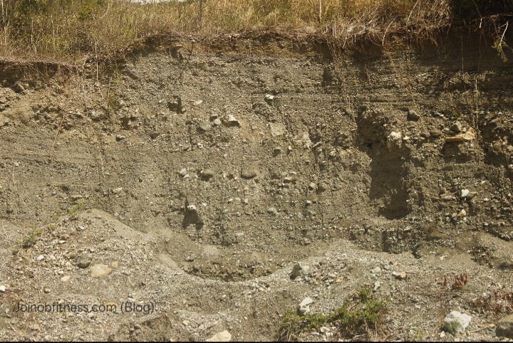
Raised Flood Plain/Alluvium
Indicative of past strong earthquakes.
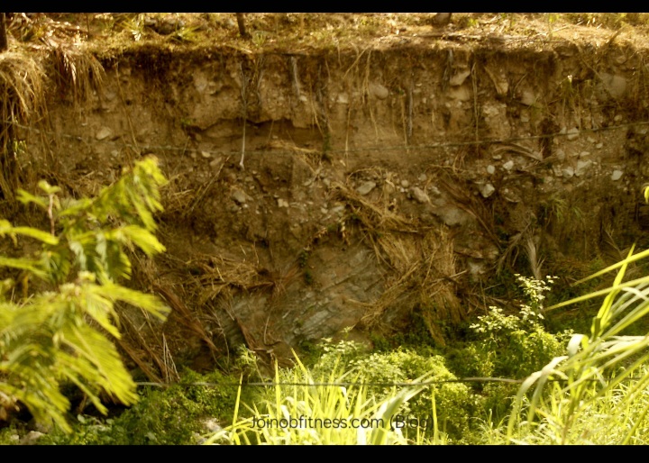
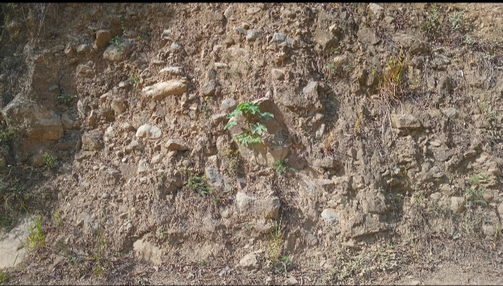
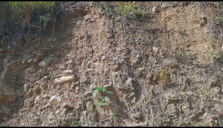
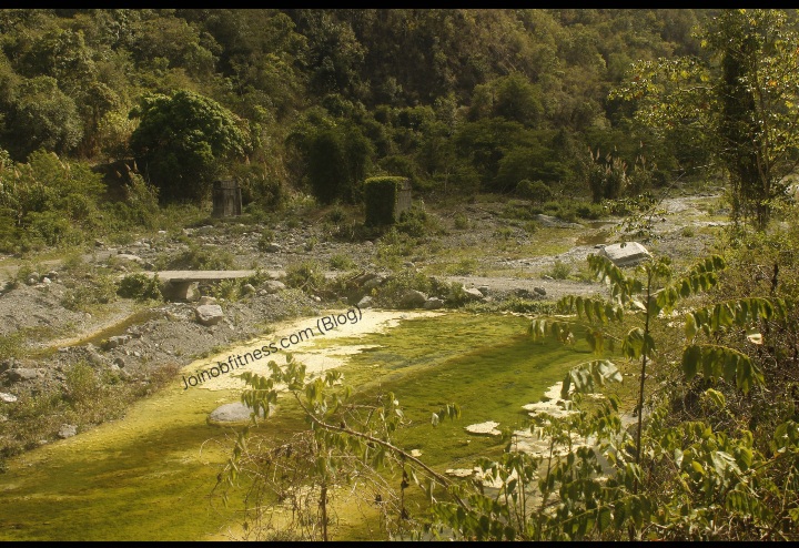
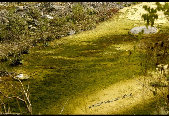
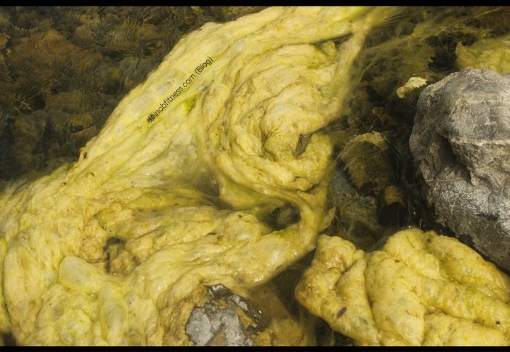
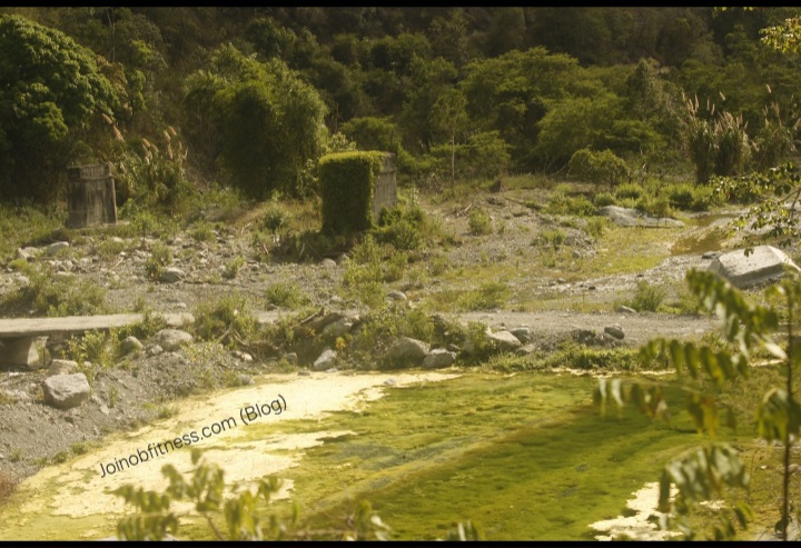
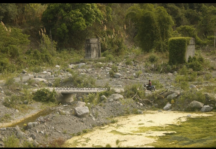
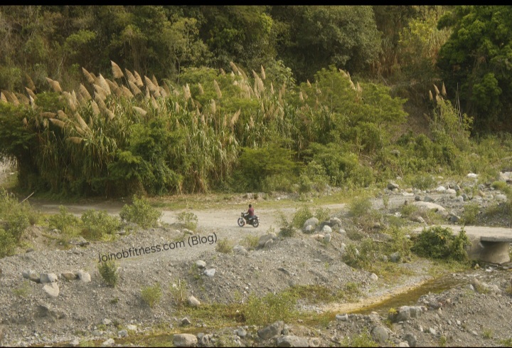
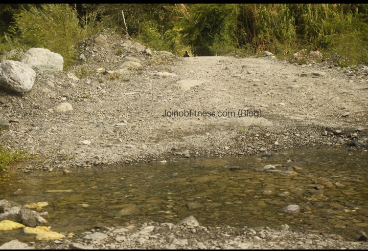
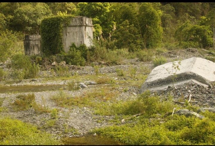
Nutrient-Rich Yallahs River & Damaged Infrastructure
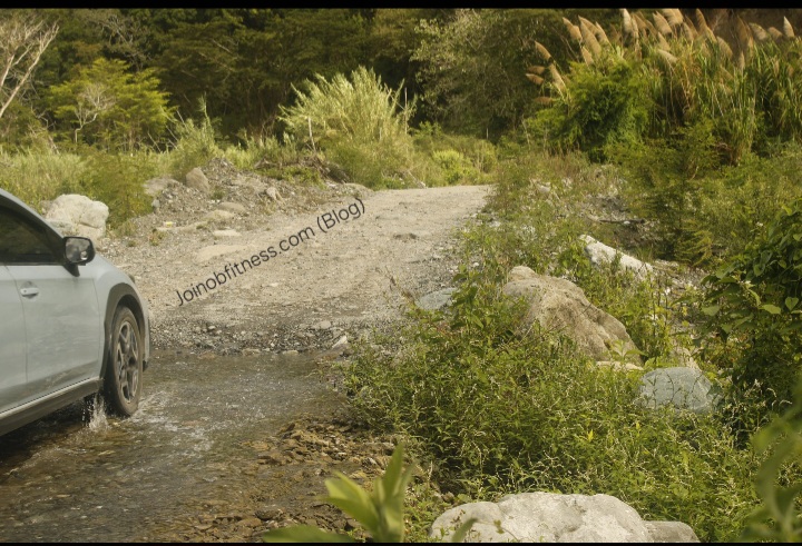
The damaged bridge is indicative of past big flooding , and/or earthquake activity. The current flow of a section of the Yallahs River across the bridge (base flow/drought levels), is indicative of relatively recent/current subsidence (sinking) of a section of the bridge.

Jamaica Defense Force Base (Adjacent to Yallahs River)
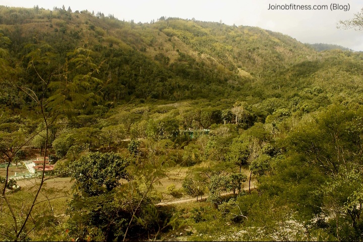
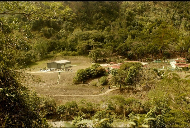
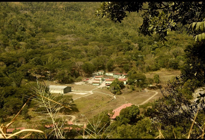
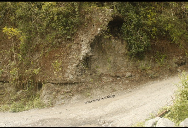
Left/West Shifted Drainage of Hillslope: Indicative of active tectonism/earthquake activity
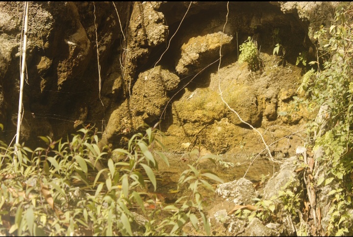
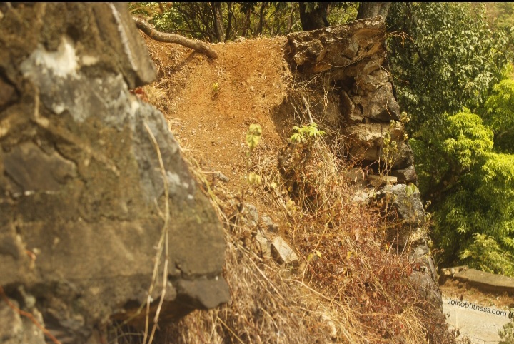
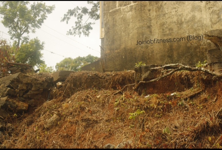
Hagley Gap Church with Actively Eroding Foundation
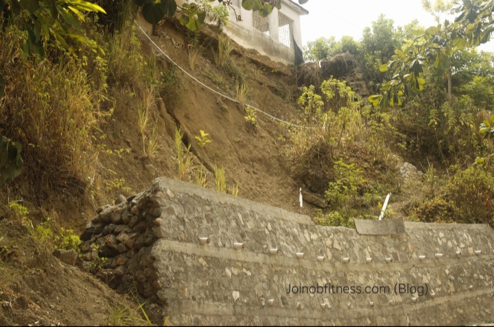
Hagley Gap, St. Thomas, Jamaica
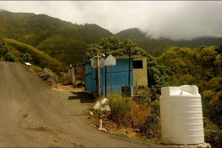
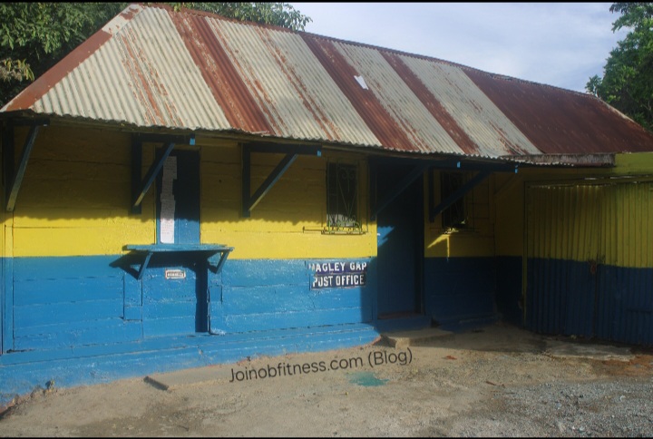
Hagley Gap Post Office: With Damaged Structure & Retaining Wall
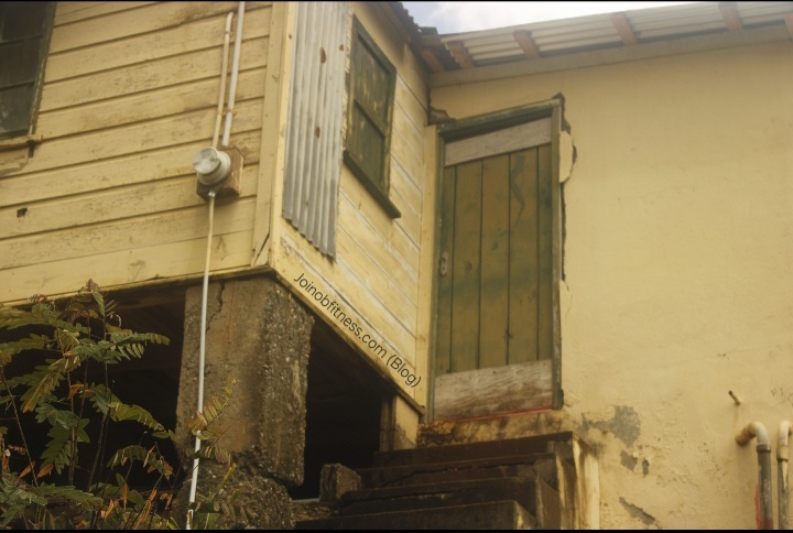
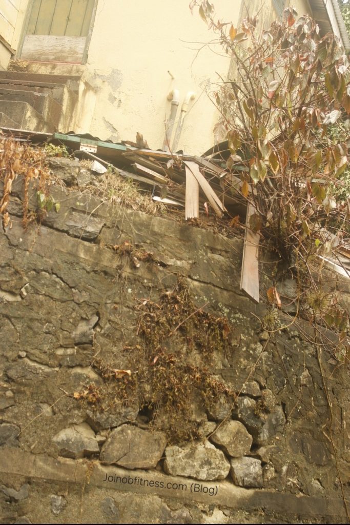
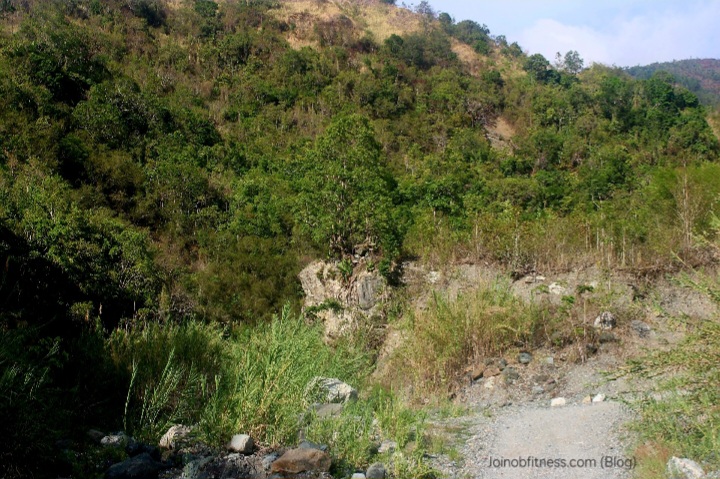
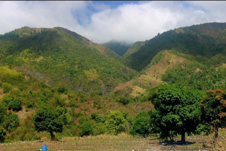
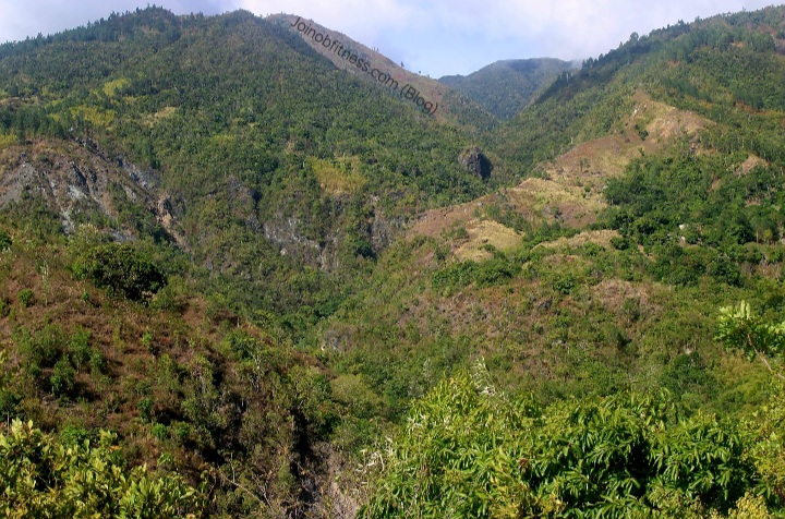
Hagley Gap- Cedar Grove St. Thomas, via Arntally
Hagley Gap Community Scenes
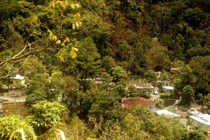
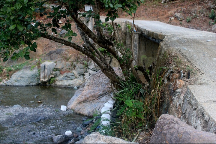
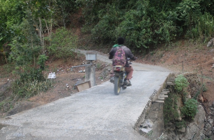
Hagley Gap-Arntally, St. Thomas Scenes
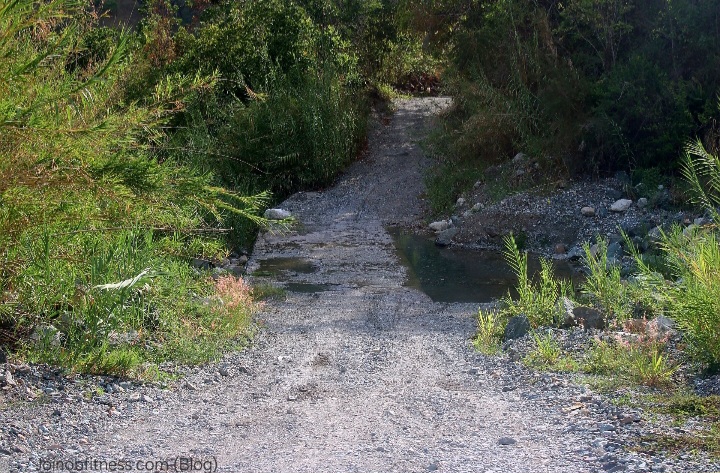
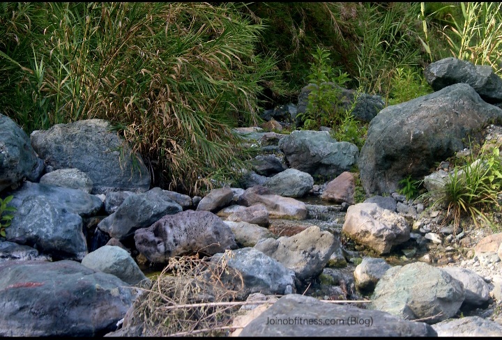
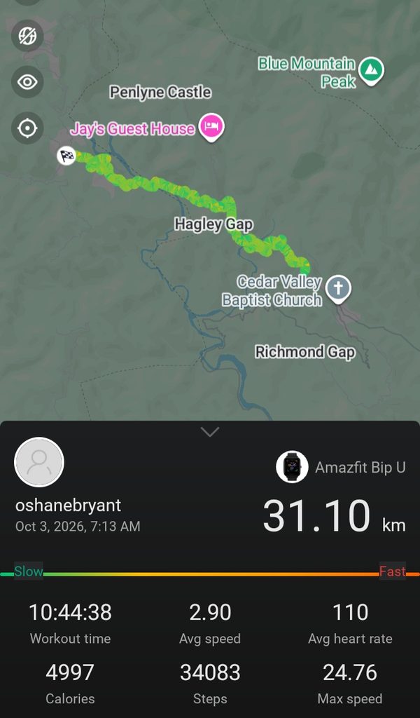
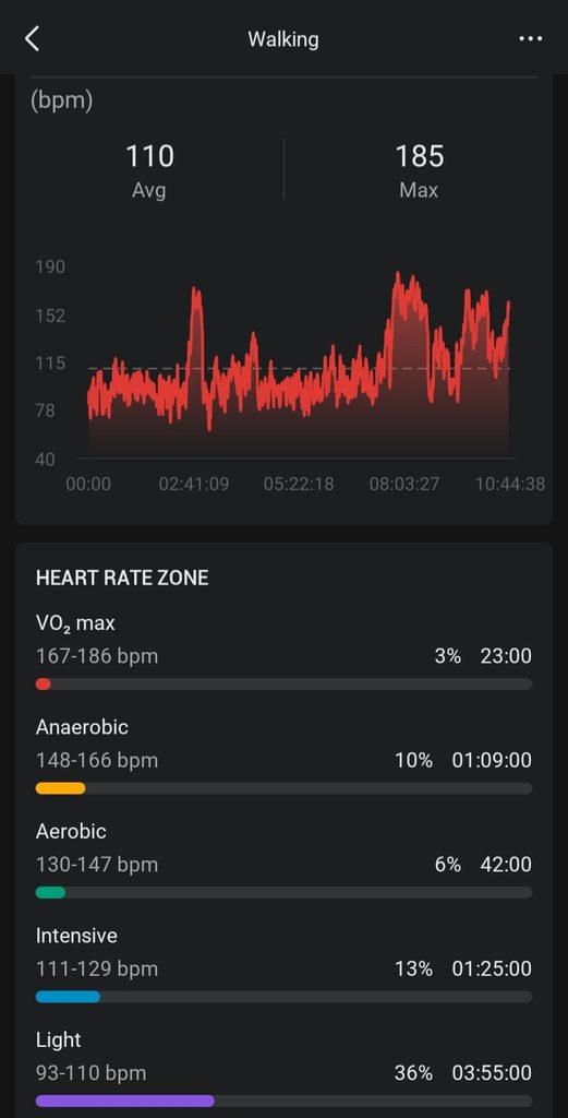
Total Distance Covered & Energy Expended to Hike & Map Mavis Bank – Cedar Grove Community Entrance

Online Personal Training System-12 Sessions Monthly (Automated Payment)
Online Training by Oshane Bryant
12 Individualized Exercise Sessions (1 Month) with Loyal Group (online) Access.
- Initial Fitness Assessment must be paid for (new member/client).