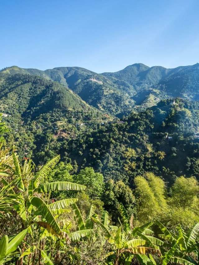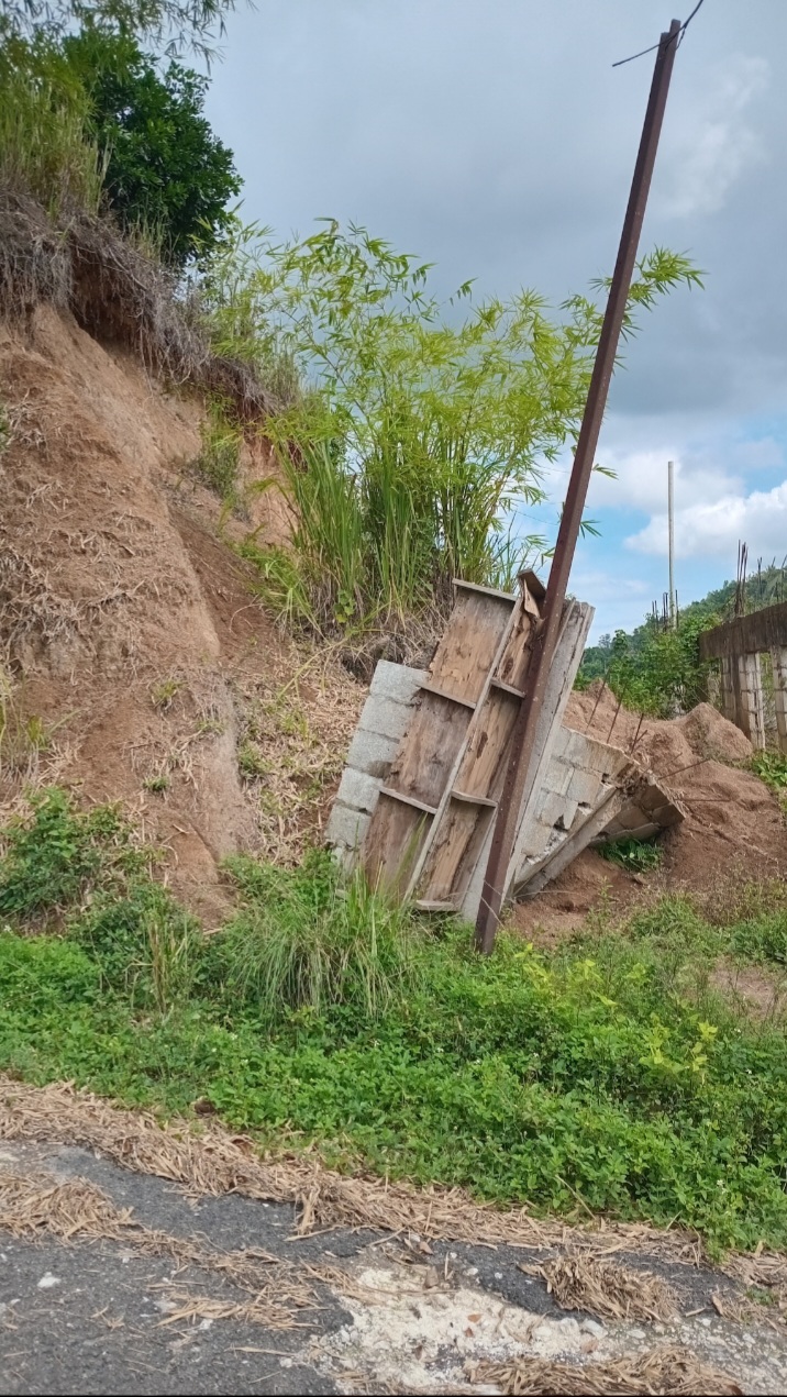

Jacks Hill is a location within the Kingston Metropolitan Area, that is experiencing infrastructural development primarily for residential purposes. The sizes of the construction projects are single-storey to multistory. And the location of these projects/developments exist across multiple sections of Jack Hill, which include:
- Mountain Spring.
- Tavistock.
- Jacks Hill Rd.
- Skyline Drive.
Here’s the thing, Jacks Hill is sitting dead center where multiple branches of the Plantain Garden cut through it. And it’s because of this, plus it’s (Plantain Garden), tug of war if you will, with the Wagwater fault segments; coupled with the bedrock, soil type, and structural geology (steeply dipping, highly jointed/fracture beds), why I classify Jacks Hill as a high risk location for multistory properties & dense population–and this is even on slopes that are of low-moderate gradient.
Jacks Hill Geographic Situation
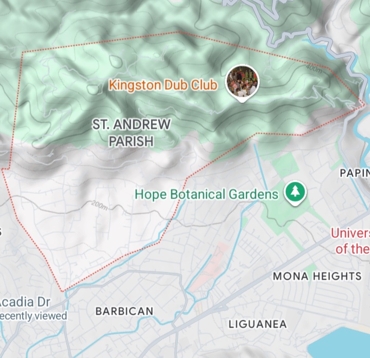
Jacks Hill is bounded by Papine to the East/South East; Barbican to the South/South West; Gordon Town to the North East; Cherry Gardens predominantly to the West & Irish Town predominantly to the North
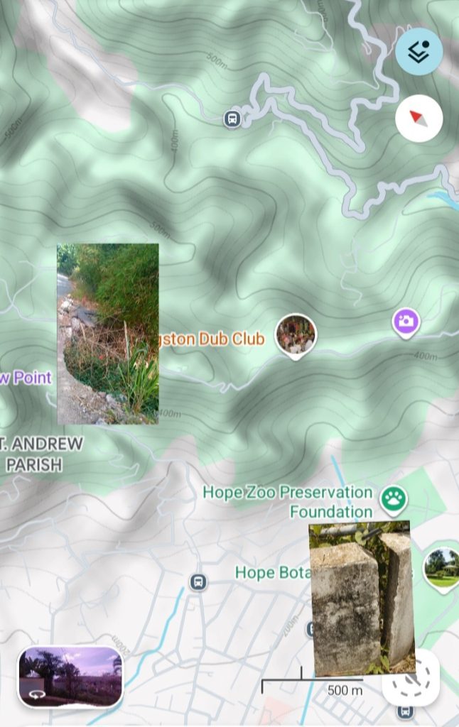
With this Google Terrain map as reference, there are two hills separated by a saddle, and multiple ridge lines that show signs of displacement influenced by tectonic events of the past. The foot of Jacks Hill (North of Hope Botanical Gardens), display signs of multiple big landslides of the past (paleolandslides). Where some of these Paleolandslides were are where recent big (relative) landslides have occurred. In addition to moisture and gravity, these landslides are also induced as a result of the active tectonism (in creeping specifically), related to the Plantain Garden Fault Zone.

Geology of Jacks Hill
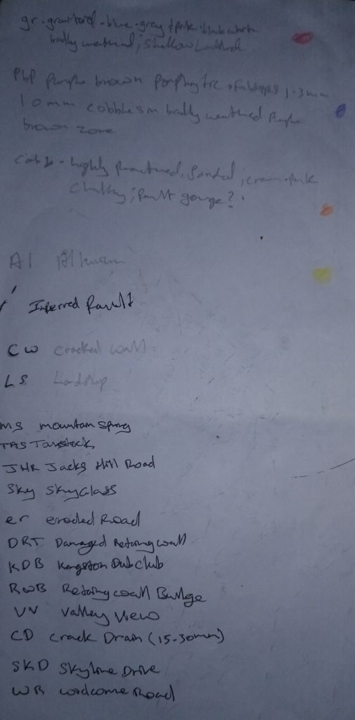
Litholgy of Jacks Hill in Photos
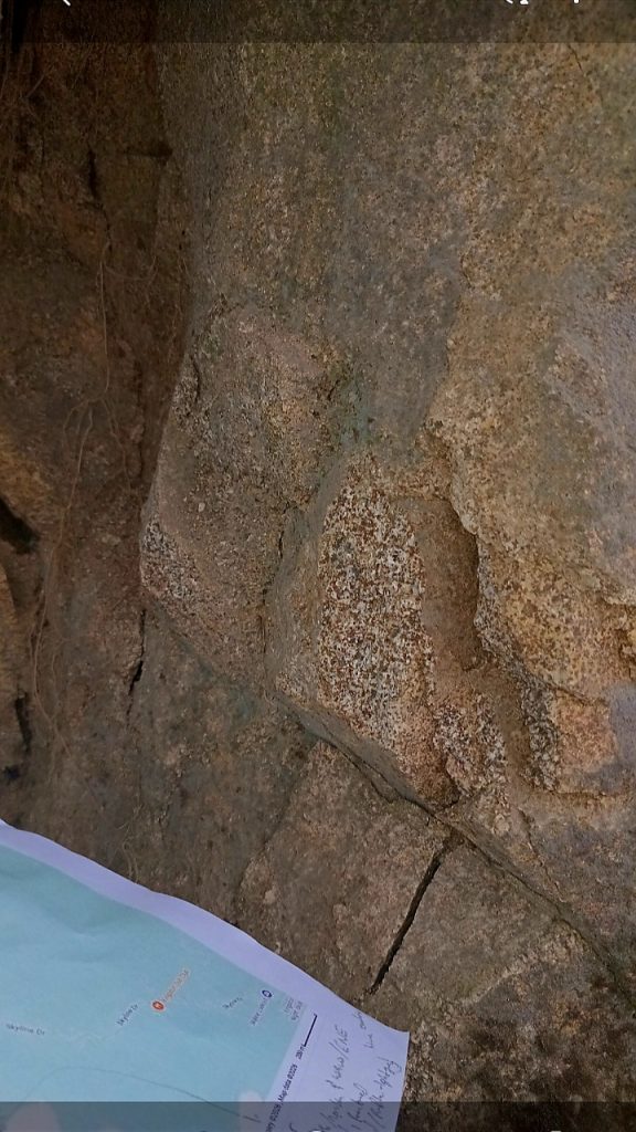
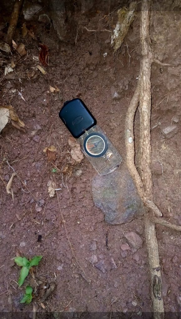
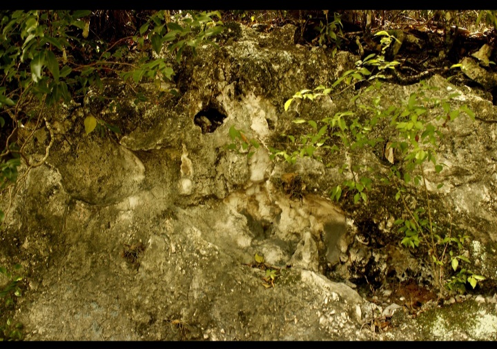
Trend of Faults/Fault Lines in Jacks Hill
As mentioned earlier, The Plantain Garden & Wagwater fault zones predominate. Their trends are as follows:
- ENE/WSW & E/W (Plantain Garden).
- North/South & North West/SE (Wagwater).
Please Donate to Project: Jamaica Earthquake Hazards Mapping (Click)
Geotechnical Observations-Jacks Hill
Gravity Stone Walls predominate. The height of the walls are as low as approximately 18 inches, with heights exceeding approximately 40ft (Tavistock). These walls are used for slope protection (primary).
Other geotechnical solutions observed include:
- Gabion Basket–toe of slopes, natural/partially natural, drainage banks(approximately 3ft high); with hypothetical use primarily for slope movement/landslide mitigation.
- Manmade Concrete Drains, and/or Ditches to channel water from the natural drainage flow paths of Jacks Hill. This also includes the corner of roads.
- Reinforced Concrete Wall observed in a section of Tavistock. This is interpreted to serve as strong impediment to the Aseismic creep observed at other section of higher elevation, within Tavistock.
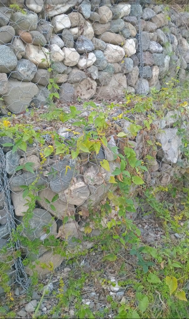
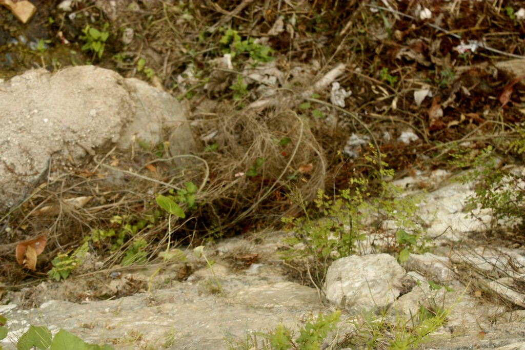
The Reality of Active Seismicity of The Plantain Garden Fault Zone & What it Means for the Current Geotechnical Solutions of Jacks Hill
The Plantain Garden Fault Zone is a predominantly left-moving active fault. According to Google AI, this major fault zone is moving (Aseismic creeping), at a rate of 7-9mm per yr (approximate/average). This equates to 70-90mm of unprovoked backed increased horizontal shear stress caused by soil and/or in Situ soil & rock in 10 yrs.
As a natural phenomena (aseismic creep), all forms of rigid geotechnical resistance to the natural flow of the earth (sloped specifically), will experience increased loads, ultimately resulting in damage and/deformation/reduced performance.
Reinforced concrete mentioned (observed in Tavistock), may offer a longer delay relative to gravity walls. However, the outcome will still be the same. When you take this fact into consideration, with the challenge of executing maintenance & repair to a reinforced concrete barrier under increasing stress of massive loads of debris, this ultimately will prove to be an unfavorable reality of asset protection/upkeep; and the inevitable abandonment will occur.
How Long Until The Inevitable Unfavorable Reality of Abandonment, and/or the Declaration of No Build Zone of Tavistock?
With the current reality of new developments within Tavistock specifically, under the conditions of Aseismic Creep, 3-5 felt minor Earthquake annually & Moisture-triggered landslides alone (fast & slow), over a 30° to 40° slope angle, It is estimated that most of Tavistock (with & without reinforced concrete walls), will be unsuitable for living in 2050–best case.
Jacks Hill Road-Undergoing Subsurface Erosion: Need Urgent Attention
To the untrained eye, the images below may appear as just a simple fix through debris plugging of the cavities, along with repaving. But to do this without any Ground Pentrating Radar, could prove to be a very costly (tax payer dollars & lives lost).
The images below highlight the reality of subsurface cavitation due to the joint action of Aseismic Creep & water erosion.
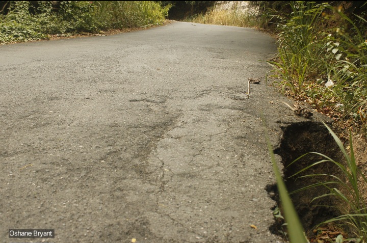
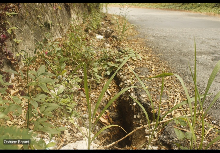
It is highly recommended that this area of road erosion be addressed before rains predominate (September-October, rainy season). This should be done through the construction of suitable ditches that channel the water into the requisite drains.
Landslide Near Skyline Drive Section & Cracks Observed on Sandy Gully in Hope Pastures, Connected
At the time of our Jacks Hill mapping, a landslide reducing the width of the road to small vehicle single traffic flow was observed.
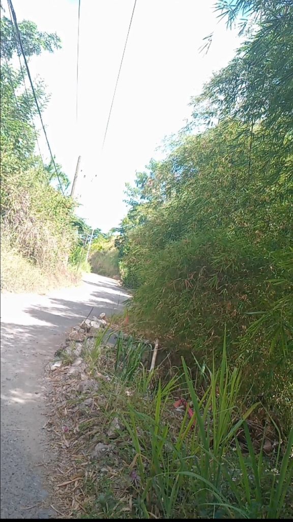
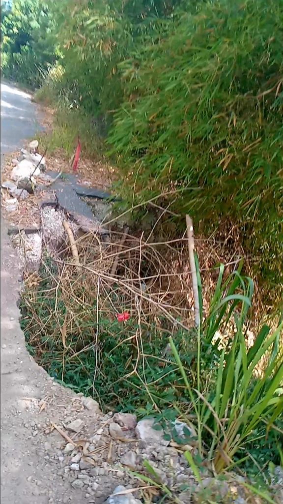
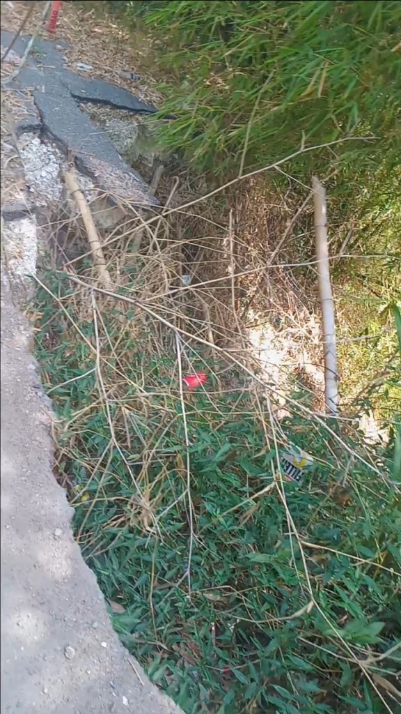
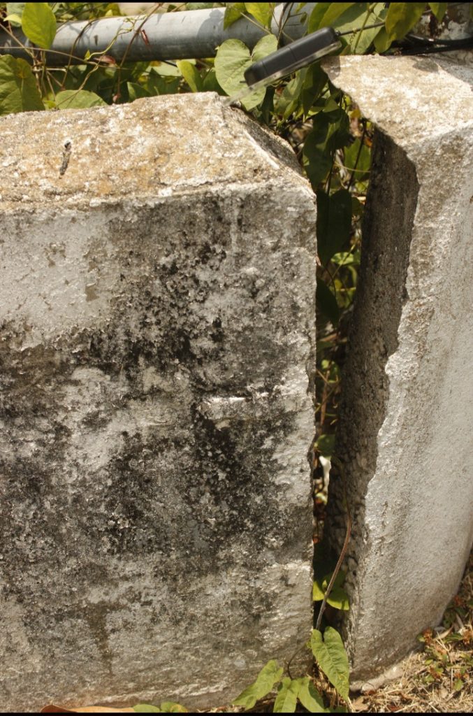
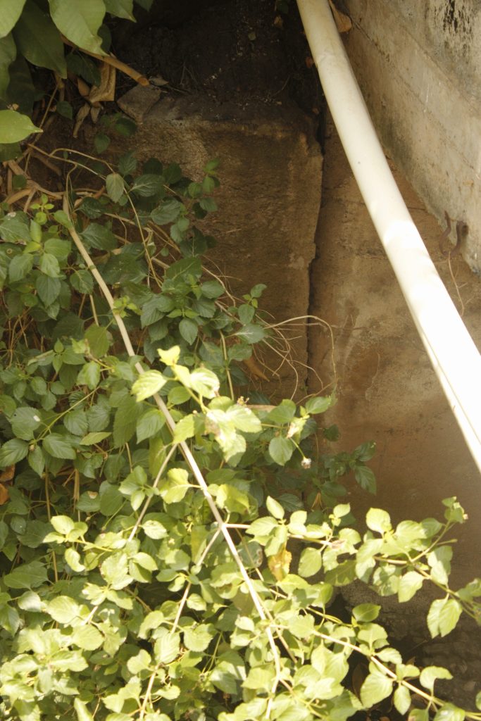
Days prior when we were mapping Highlights View in Papine, we observed a relatively big crack and tilting of the Sandy Gully within the Hope Pastures community. With our Geologic Map of Jacks Hill as reference, we attribute both observations (at least partially), to the Plantain Garden Fault Zone movement.
The observation of the road with partial breakaway on Skyline Drive, need urgent rehabilitation. Having said this, to be honest, any form of retaining wall will be short-lived (less than double-figure in years).
And whilst the cracks of this section of the Sandy Gully drain does not need urgent fixing, it reveals weakening of supporting structures that could yield a worsened outcome short term, in the event of a Moderate Earthquake with a relatively near epicenter (within Eastern Jamaica) to say the least.
Please Donate to Project: Jamaica Earthquake Hazards Mapping (Click)